Fish Lakes
With the desperate need to get lost in the wilderness and an unusual warm few days in the forecast for the first days of October, I had a few potential destinations in mind for a three-day trip. I ended up picking an area that I am familiar with as the other options were more risky for an early fall trip. I can deal with a sudden snowstorm or whiteout conditions if I know the area. The Molar Pass loop is the first place Andrea and I have backpacked in the Canadian Rockies a few years ago. I decided to visit the area again, but this time with a modified itinerary. Instead of using the North Molar Pass to access Fish Lakes, I opted for an off-trail adventure that would take me over the unnamed pass just east of Mosquito Mountain that most people call Mosquito Pass. A beautiful turquoise tarn below the pass was my main motivation for this trip.
Fall colors were starting to appear along the highway, but this early morning full moon stole the show on my drive to the trailhead.

The 2-hour drive to the Mosquito Creek trailhead went by real fast and I started the hike during the golden hour with the higher peaks glowing from the rising sun.

The trail was very calm. It was a cold, nothing unusual for early October. Frost from the morning dew was on every single shrub. I am not sure if the crisp morning air was what pushed me to walk at a faster pace. It could have been the occasional fresh bear scat along the way too. But either way, I was looking forward to leave the dense treed section along the creek to avoid a surprise bear encounter.


Do bears even digest?!

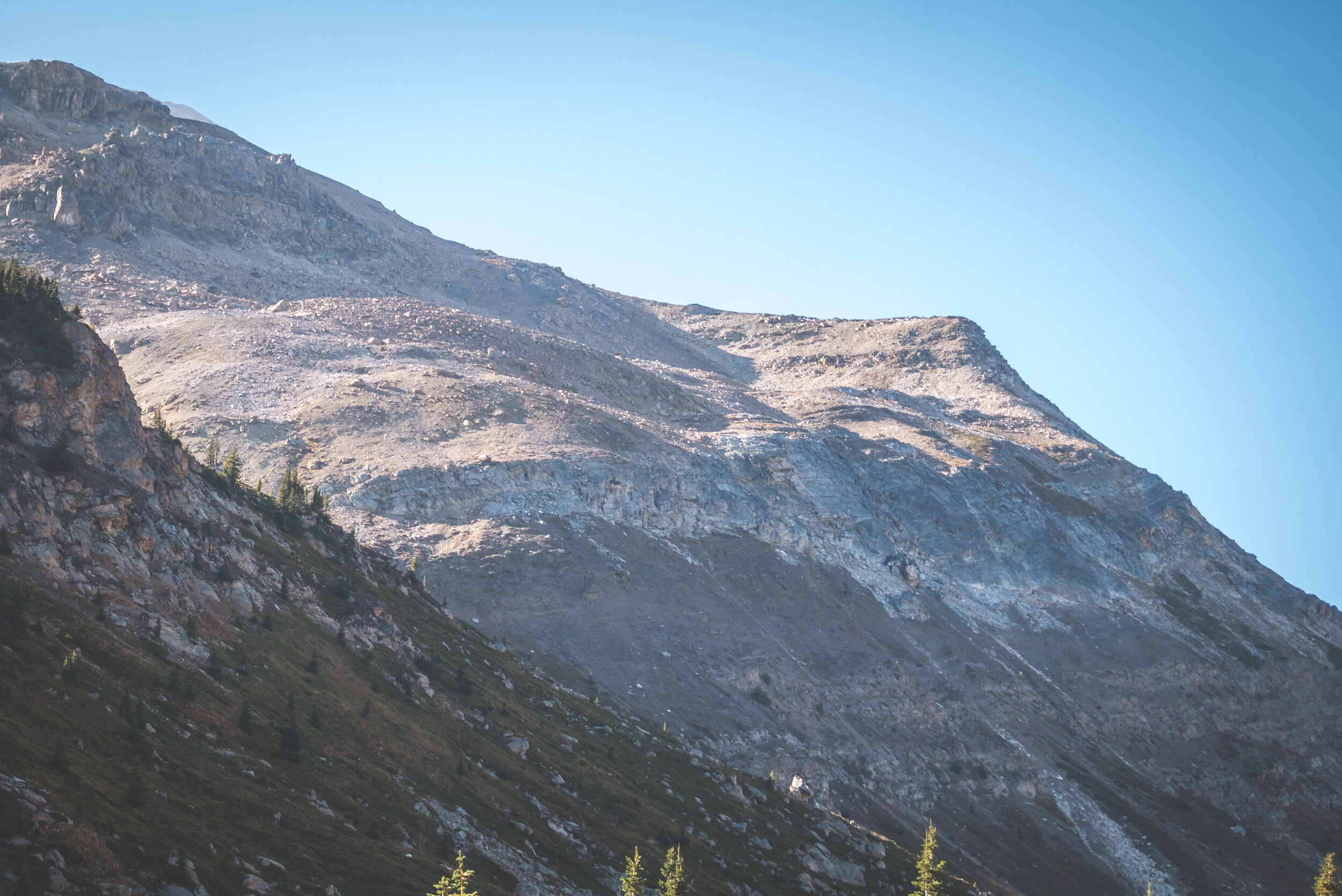
I reached the junction for Fish Lakes and after a steep ascent, I was in the beautiful and vast meadow below North Molar Pass.


North Molar Pass, the low point in the middle.
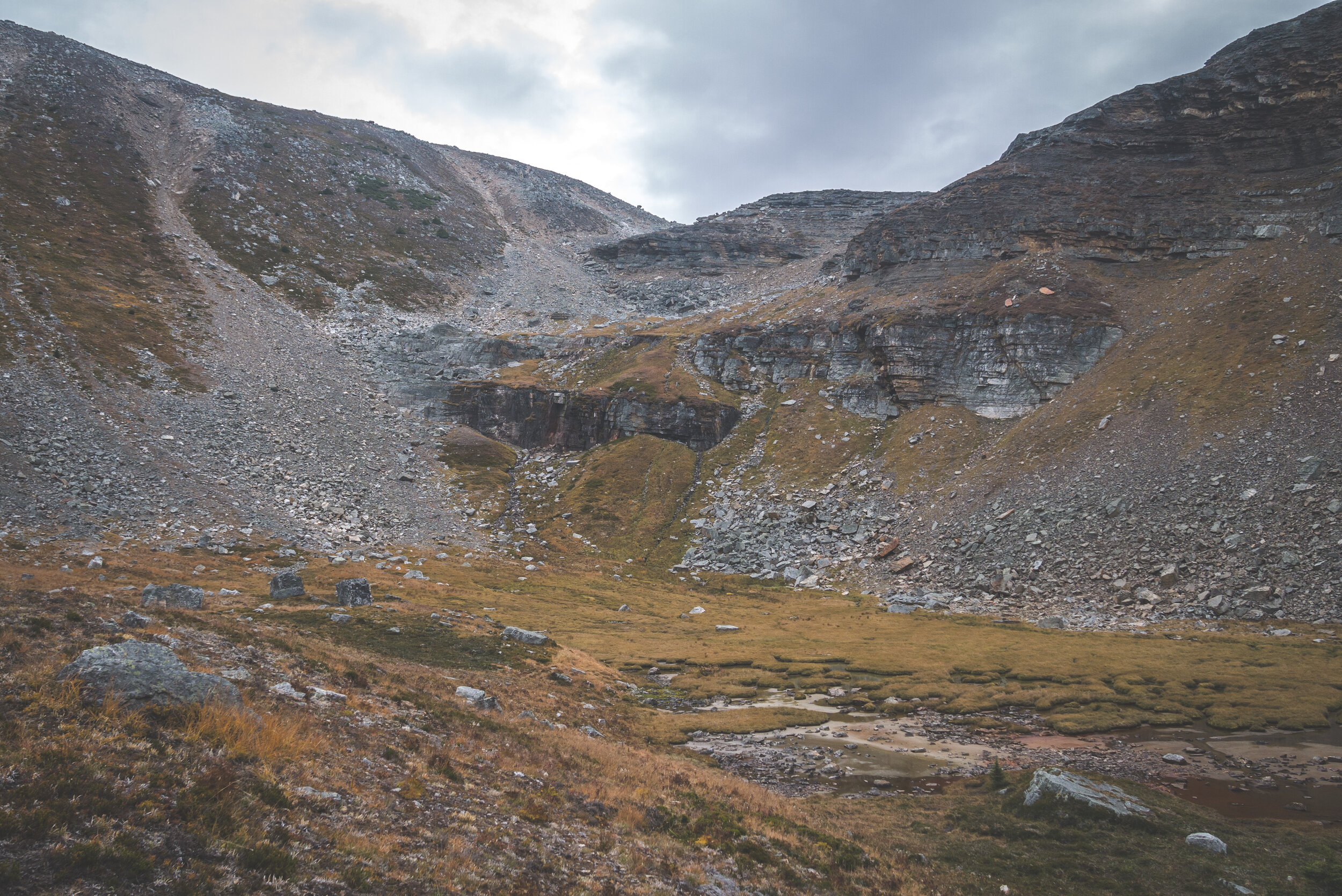
The last time I was here was a few years back in late September, which reminded me that I have never seen this area other than with its early fall colors. The grassy meadow had an orange tint, just like last time. It brought back some good memories. For now though, it was time to leave the trail behind and go explore Mosquito Pass.

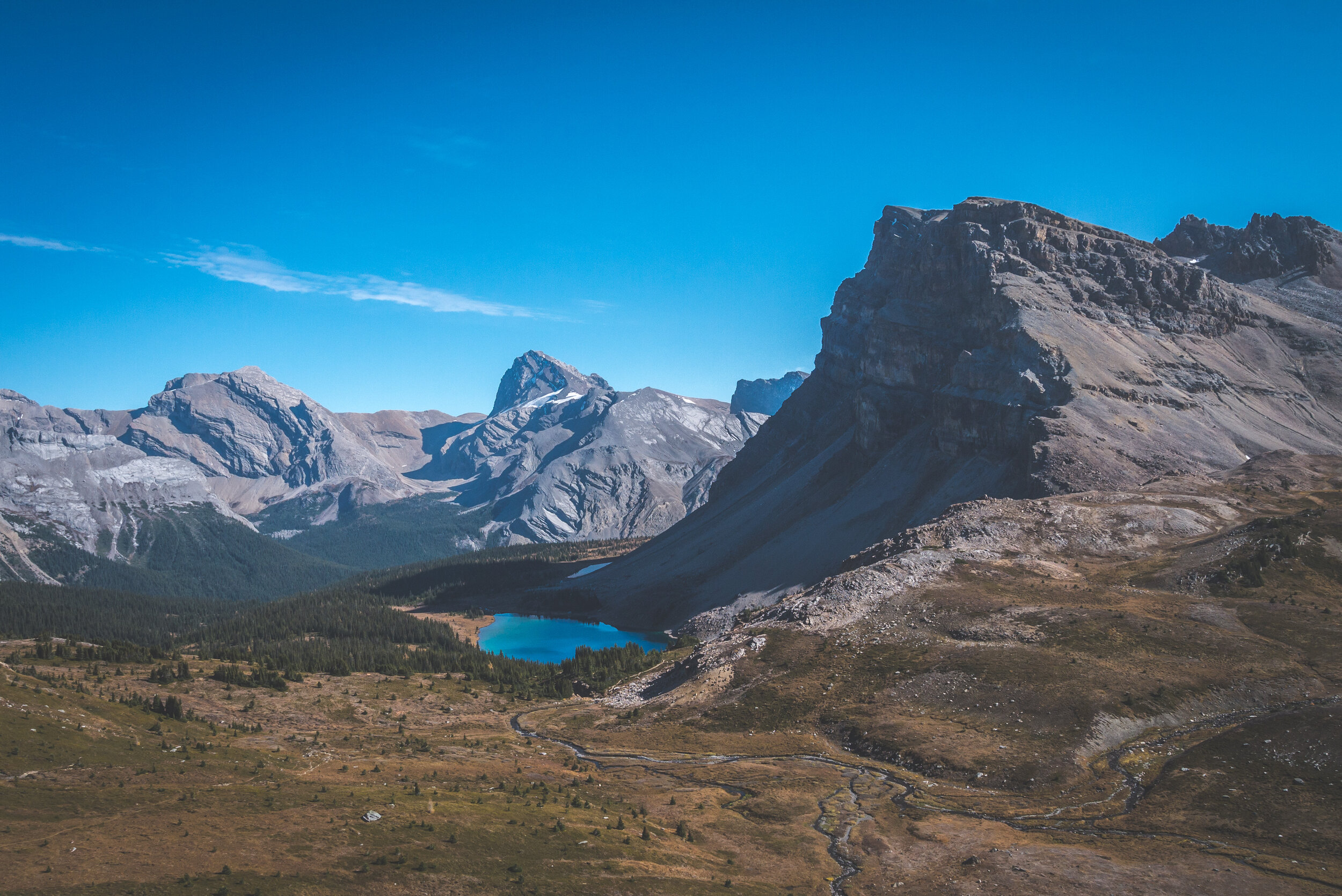
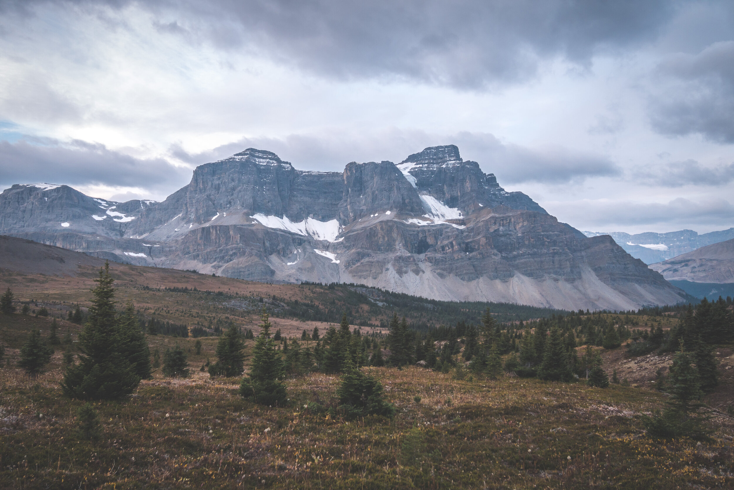
Mosquito Pass, in the middle.

Looking back at Noseeum Mountain.
The terrain along the way was dry and rocky at times. There was a little creek at the bottom the valley. It was getting warm and the lack of wind turned my ascension to the pass into a sweaty workout.

But who can complain with a view like this?

In the background, the Dolomites.
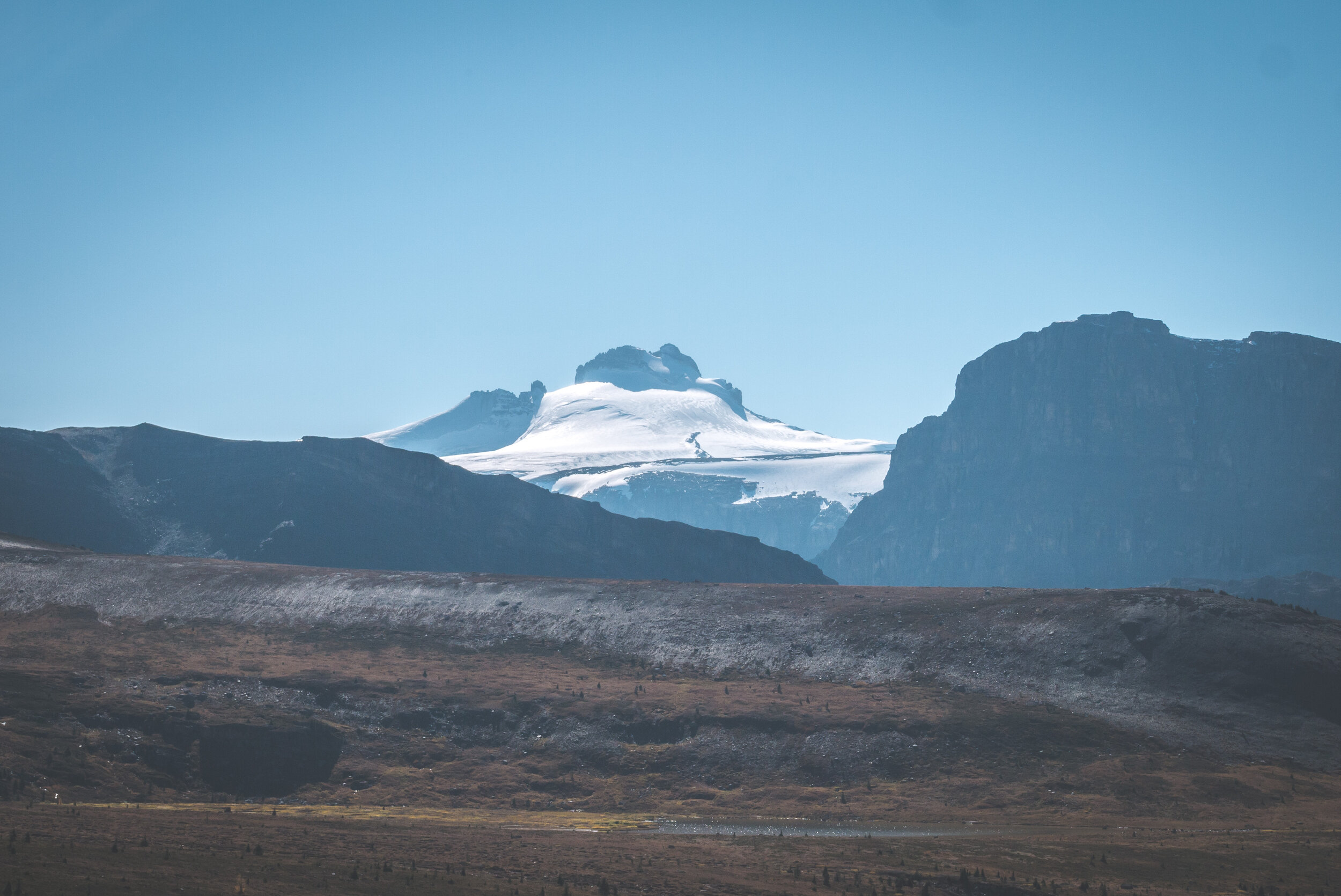
I could see Mount Andromache to the left in the background but I was still too low to witness the beautiful Mount Hector and its glacier.

Finally, Mount Hector! With the sun high in the sky, the glacier was sparkling. I was lucky to have such good views. Just two weeks earlier the air was filled with smoke when we stayed at Hector Lake, just behind Mount Hector. Today, I was blessed with not only a bluebird sky but also a temperature in the upper 20’s Celsius. What a treat! Next objective was to reach the tarn below the pass.


What a beautiful alpine tarn. The water level was low and the surroundings very dry. I thought about spending the night here but the tarn was located in a lower spot and offered no views on Mount Hector. I finally decided to keep going after seeing bear tracks. They looked old, but still! I had to walk around the tarn to make my way to the top of the pass.


What a slog! The sun was beating down on me. The closer I was getting to the pass, the windier it got and it felt amazingly refreshing.


One last look behind before getting to the top and access the magnificent Pipestone Valley.


Devon Mountain poking through!
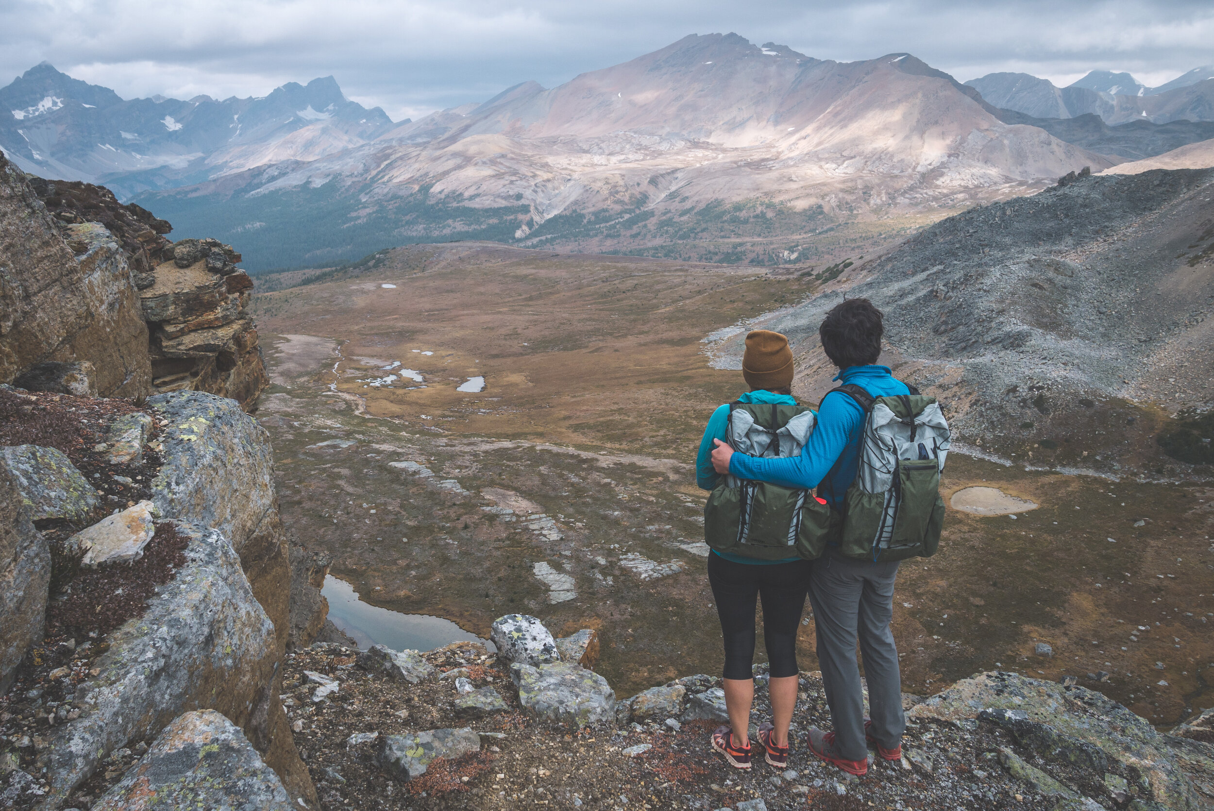
Speechless. Breathtaking. I don’t know of many synonyms of these words I can use to describe this place. It was the end of an 11KM hike with constant elevation gain, and I surely once more enjoyed the reward. The Pipestone River originates from Pipestone Pass and flows down to the Bow River near Lake Louise and is quite an important drainage, having a few tributaries such as Little Pipestone Creek and Molar Creek. It starts as a tiny river nearly a foot wide but ends up being quite a large and wild river near its confluence with the Bow.
I would have loved to spend more time on the summit of Mosquito Pass, but the time was passing by and I still had another 7KM to hike before reaching Upper Fish Lake, my destination for the night. Nonetheless, I still took the time to snap a few pictures and collect precious intel with my binoculars for a future trip in the area.


Pipestone Pass in the middle at the bottom of the valley.
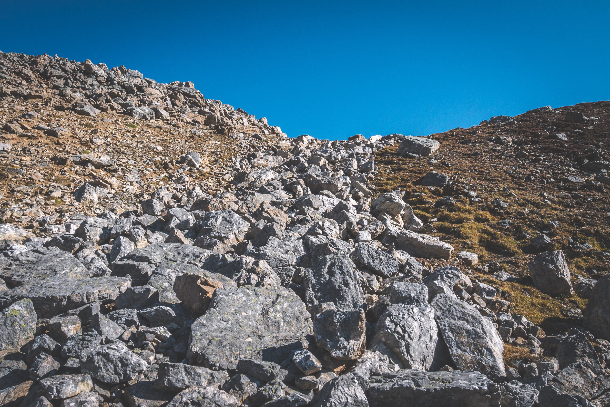
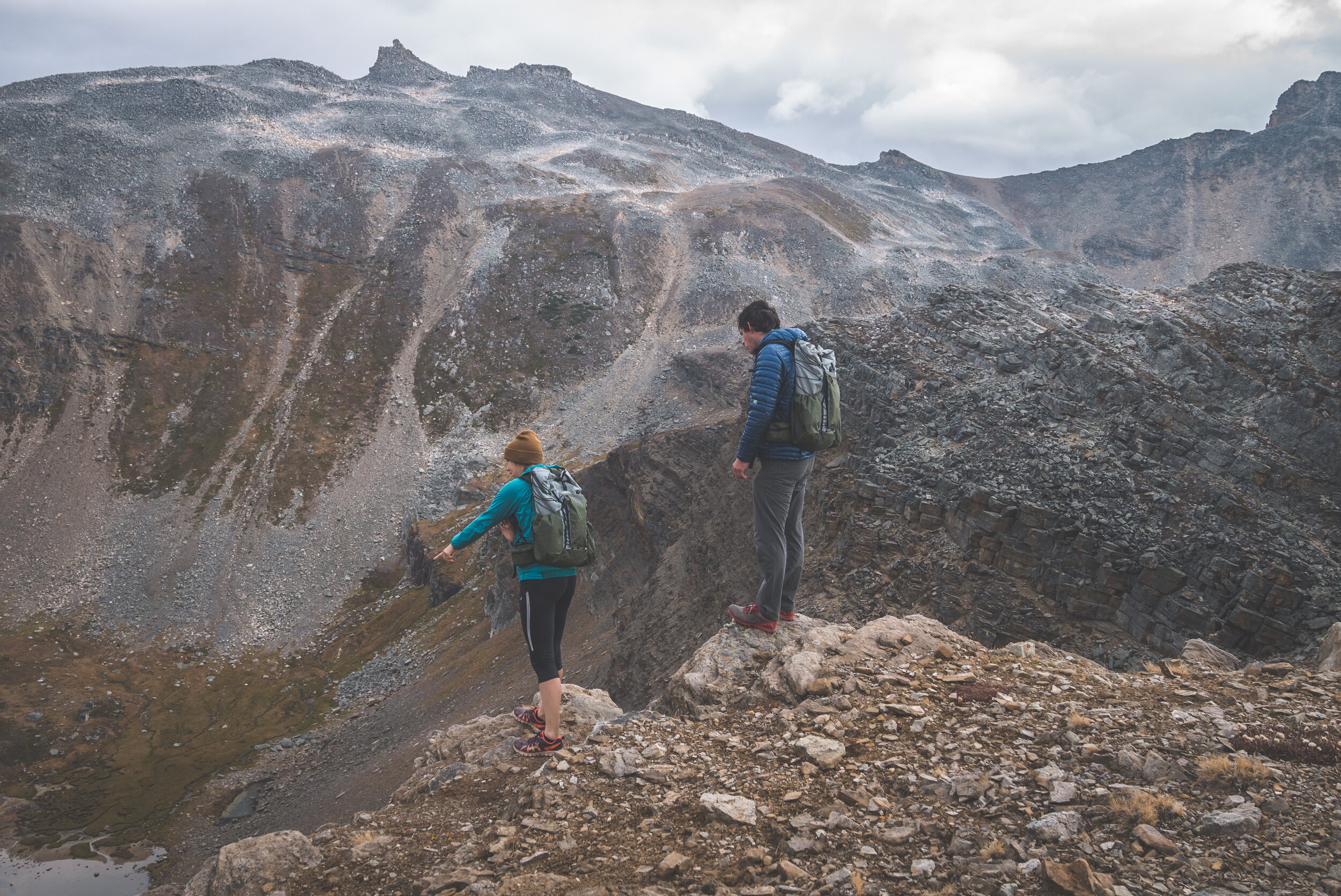
The drop towards the Pipestone Valley is steep and the scree is very loose. A big backpack added to the challenge. I carefully planned my descent, making sure I would not be cliffed out on the way down.

The real challenge while hiking off-trail is being able to read the terrain ahead of you. I enjoy this challenge. I had spent a lot of time prior to this trip studying the map, satellite imagery and the slope angles to have a decent idea of where to go. But everything looks different when you are in front of it, and I always try to avoid having to climb back up of make a long detour. Coming up to a place like the one below, it’s important to know in advance if the drop ahead of me is a cliff or not. Preparation is key!

The only sketchy section of the downclimb was this horizontal traverse. Rocks were loose and between the edge and the tarn below was a cliff.

After having successfully negotiated the rock section, the grassy bump below was my last obstacle. I came down right on top of it, crossed it and made my way to the valley floor by using a gully.


On top of the grassy bump.

Using a gully to complete the descent.
Looking back at Mosquito Pass, just left of the little summit on the right. It was a fun downclimb, not too spicy but just enough to keep me focused at times.
What my route looked like, with the horizontal traverse above the cliffs.

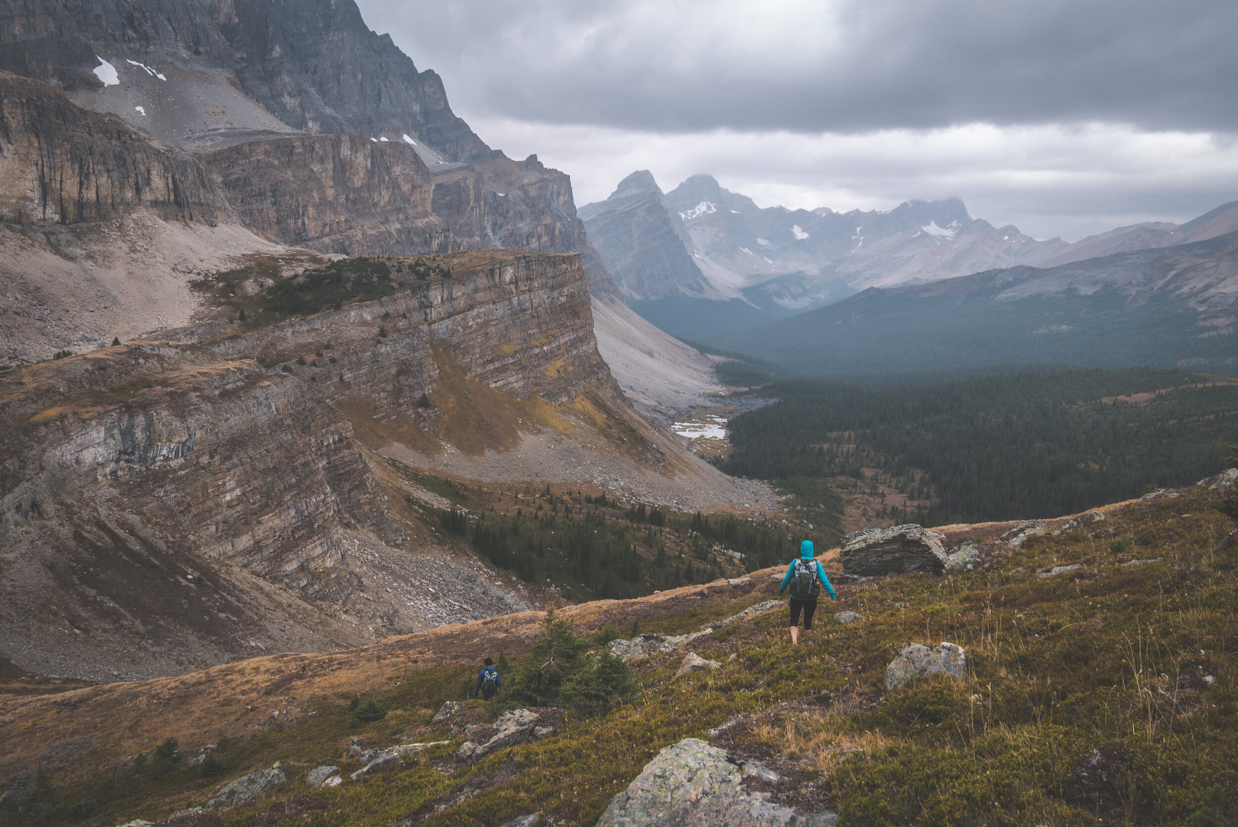
I was loosing daylight by the minute being so low down the valley. My campsite was just around the mountain to my right but it took me a long time to walk 5KM. I used a few shortcuts at times and used a well established trail to try to shorten the hike.


I came across Moose Lake, but no moose was here. I was tired and tempted to stay here for the night. But I knew how pretty Upper Fish Lake is so I kept going.

Seeing one of the summits of Molar Mountain that rises just above the campground gave me a boost of energy. Instead of following the trail that went all the way east towards the Pipestone River before heading back west to Fish Lakes, I bushwacked in a straight line to the lake.


Fish Lakes warden’s cabin, tucked away in the trees a kilometer behind Fish Lakes.
Finally. I made it to camp. I was in a great mood, having accomplished an objective I had in mind for a while now in visiting Mosquito Lake.

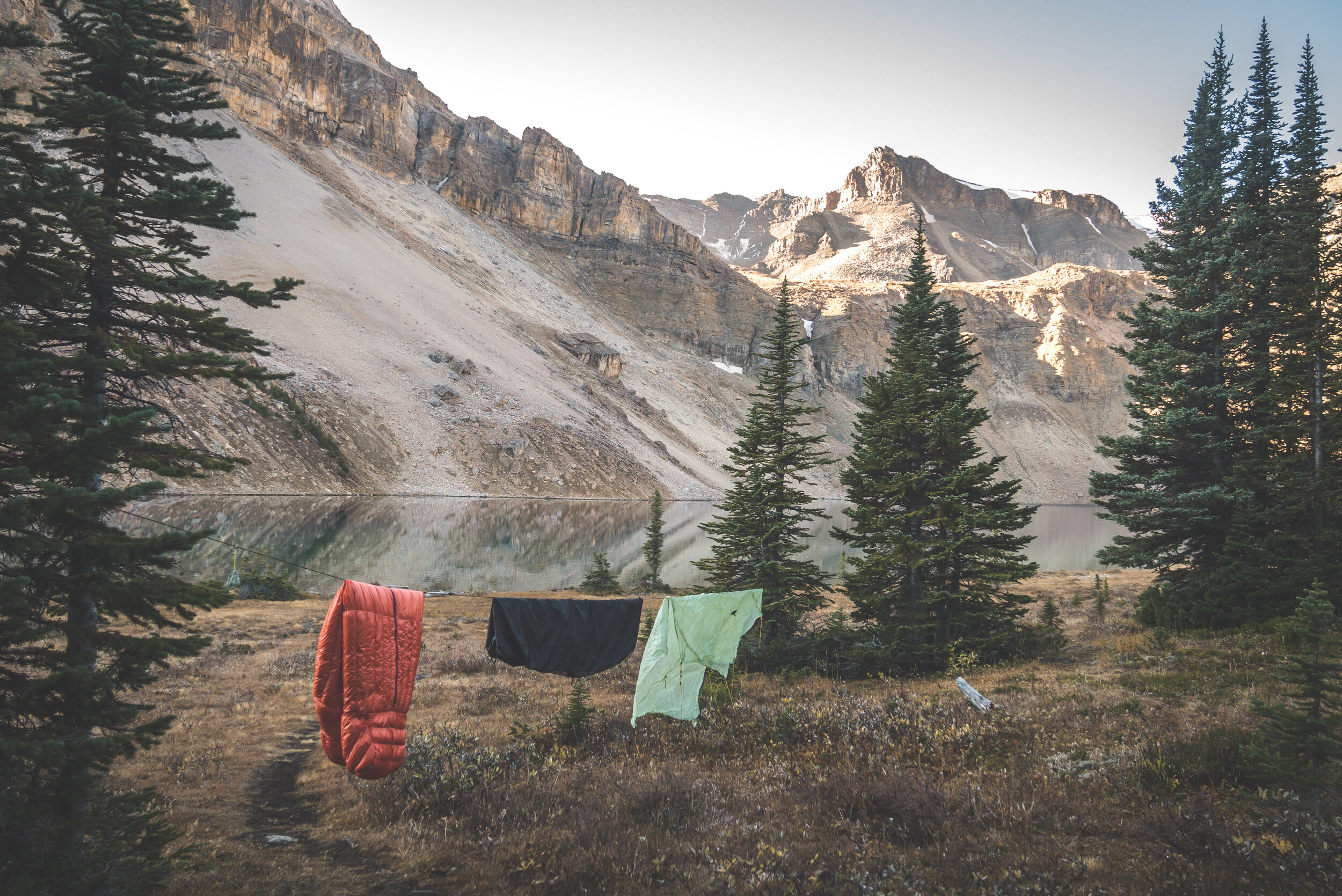
With the sun setting early, I quickly set up my tent in the trees and spent the evening near the lake relaxing, reading and simply taking care of my mental health. I have yet to find a better way to fight stress than spending time in the wilderness and I am not looking for another. It’s what works for me and I am extremely lucky to be living in a place that offers millions of opportunities to get lost in the mountains.
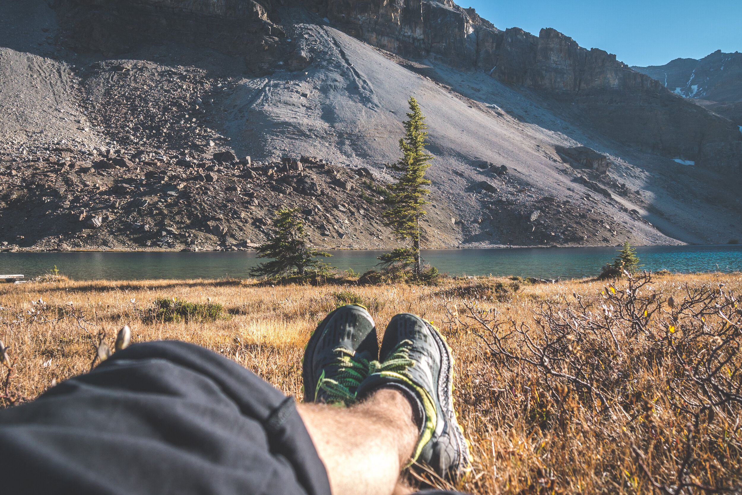

It was such a calm evening; not too windy, no mosquitos, temperature just below 10C. An evening in the wild just like how I enjoy them.
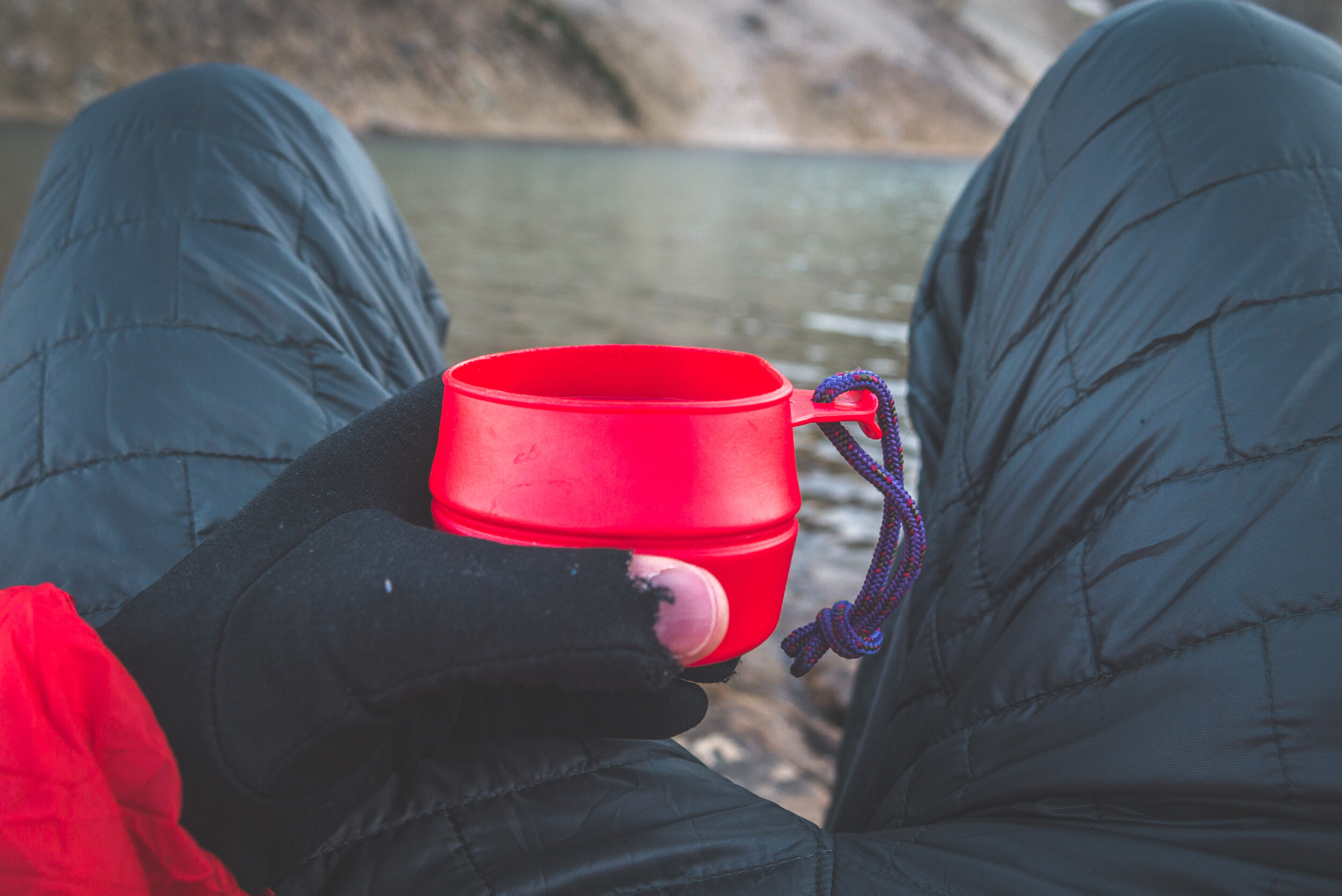

My spot for the evening.

I waited for the “golden hour” to be over before retreating back to my tent. I was physically tired, but I had to plan my second day before going to bed.


I had a good night of sleep. I woke up a few times to “go to the bathroom” and kept hearing stomping noises around camp. I screamed a few times and it must have been a few deer running around judging by the sounds the animals made. Other than that, it was an uneventful night and I woke up way past my usual 6AM wake-up time. I guess I needed it and I’ll never complain about feeling well rested!
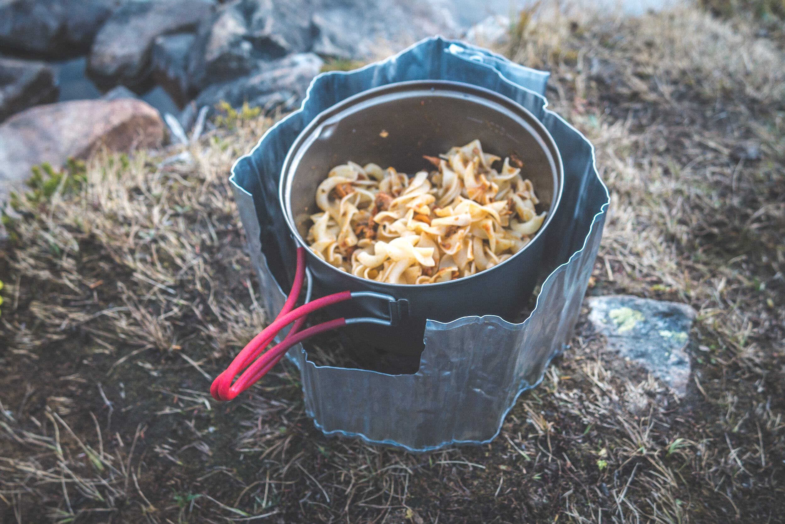
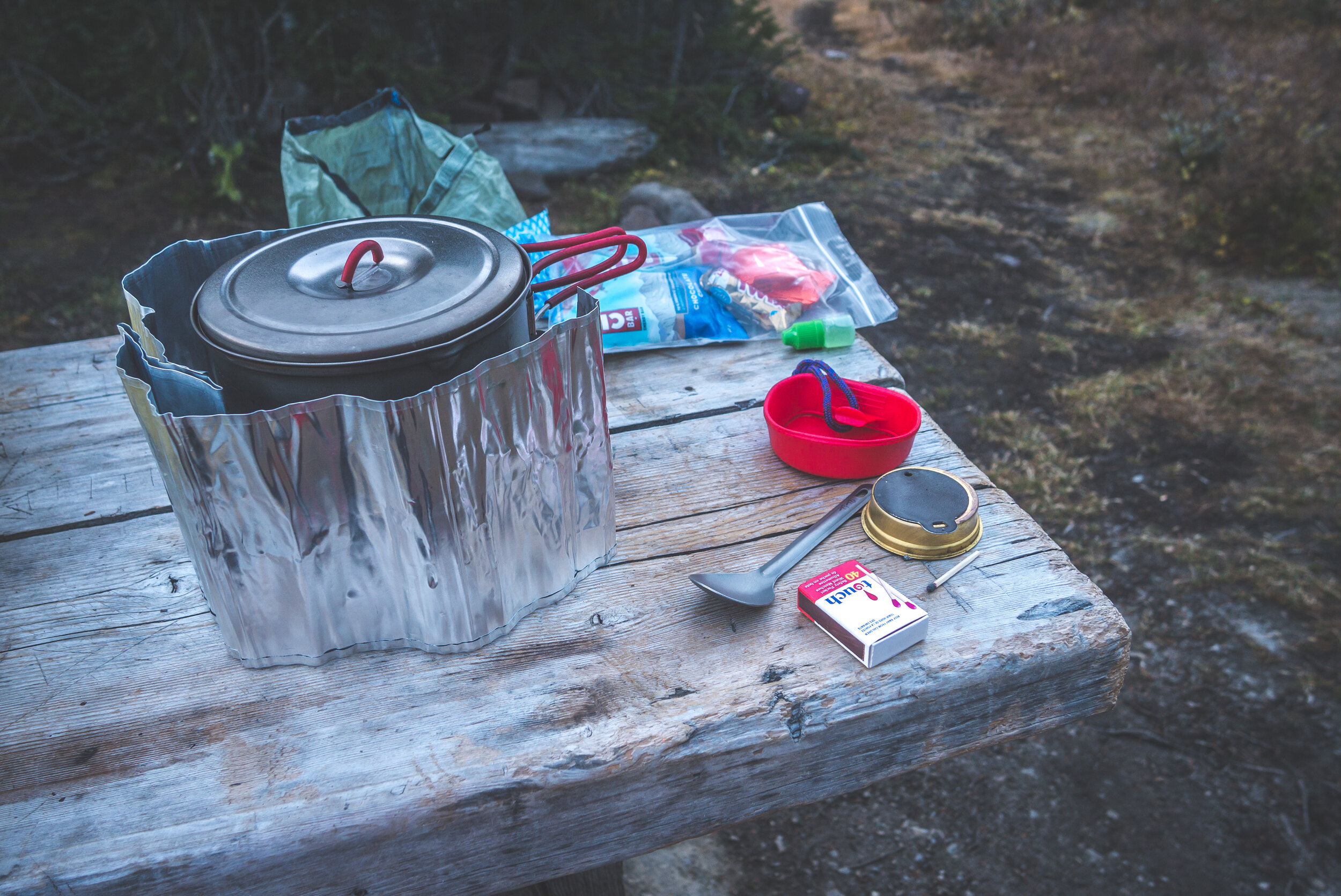
Breakfast was prepared while my sleeping gear was drying from the overnight condensation.
I packed up and made my way towards North Molar Pass. But first, I wanted to explore the vast area between the pass and Fish Lakes.


I left the trail and aimed for the big rocky bench below the mountain in front of me. My goal was to get a higher view at the Lakes as the weather was once again pristine.

But once on top of the bench, I was still too low and too much to the south to even catch a glimpse of Fish Lakes. But lucky for me, another rocky ridge looked accessible further to the north.


Making my way to the other high point.

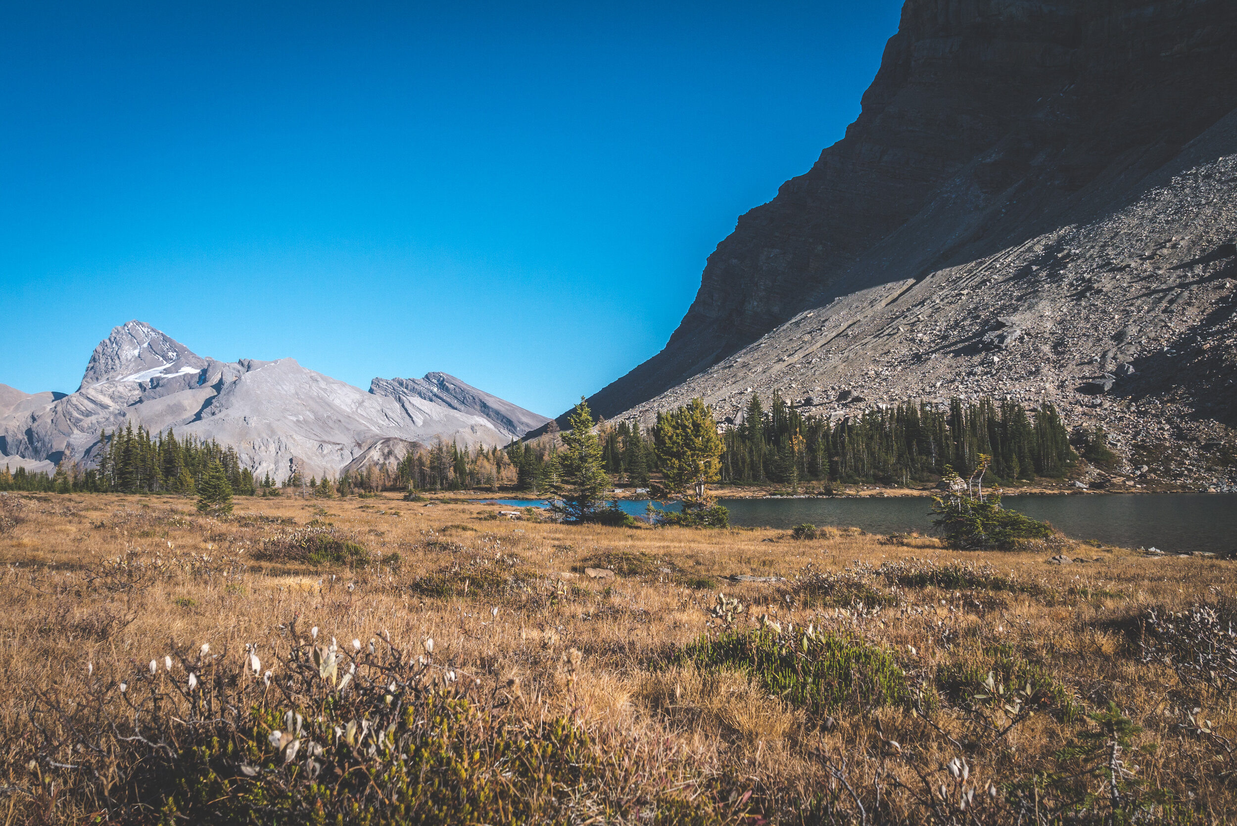
And there you have it. Lower and Upper Fish Lakes in all their glory. What a beautiful spot it was to admire this landscape.
North Molar Pass is the lower spot in the “V” with snow.

Closer look at Upper Fish Lake. The grassy shoreline on the left is where the campground is located.

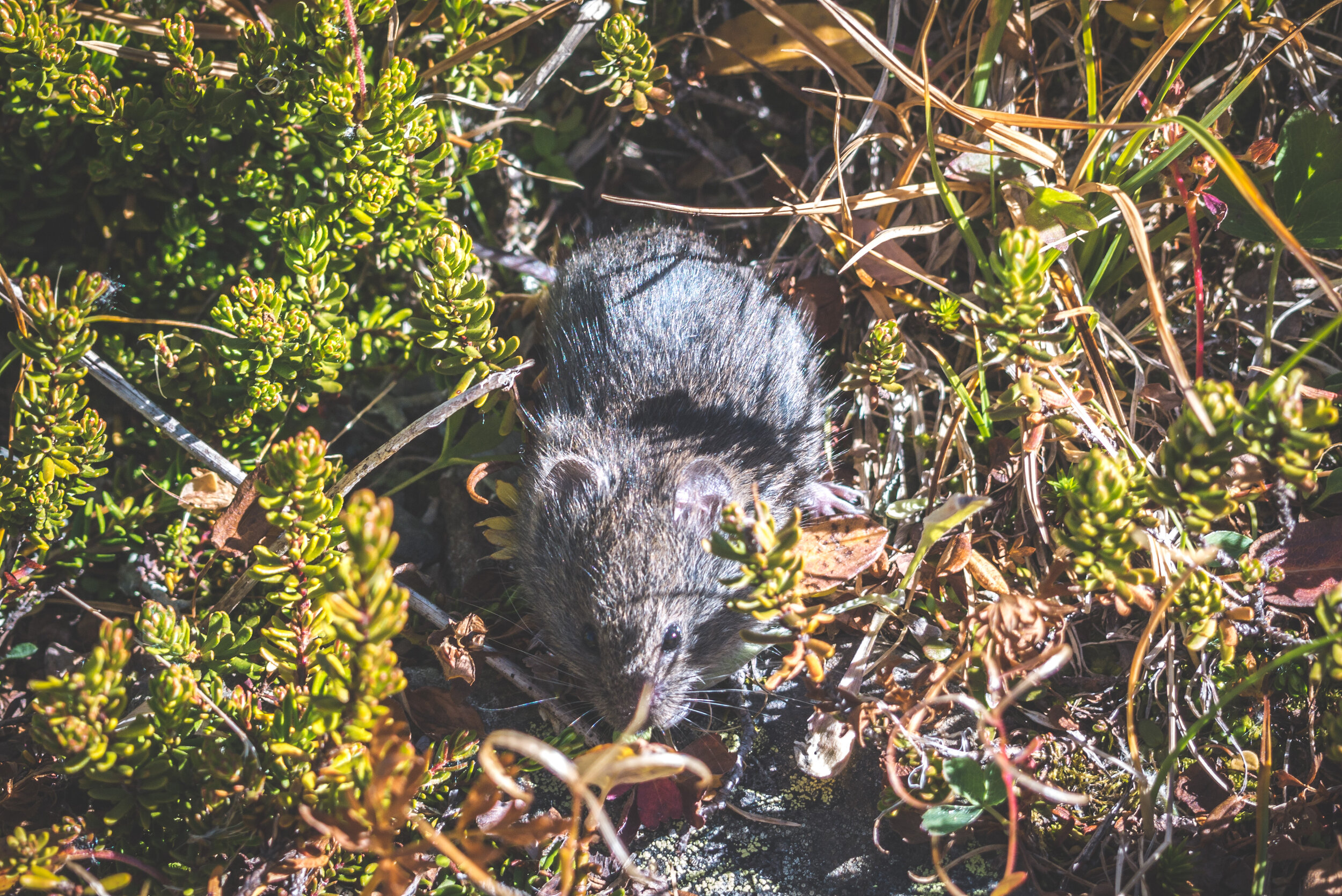
I climbed back down and found a nice little spot to eat near a tiny creek. I spent time lounging in the sun, reading again and playing peek-a-boo with my new little friend.
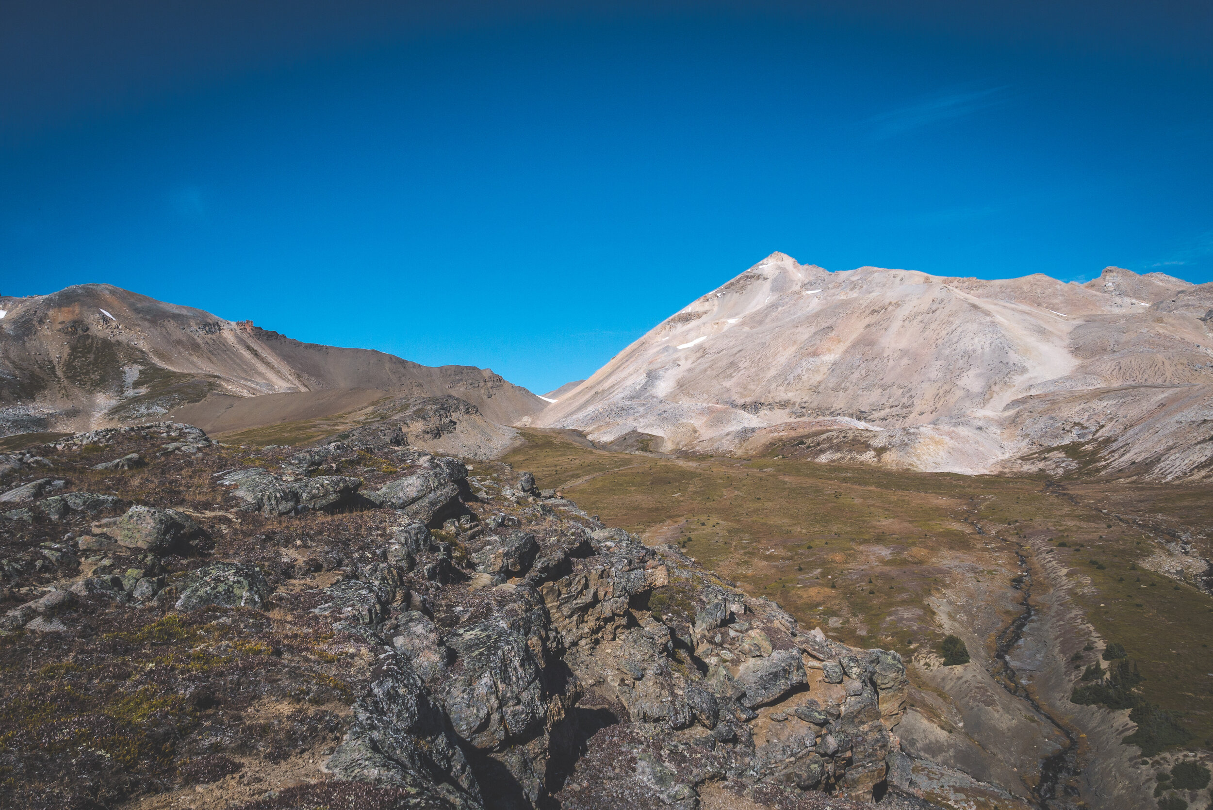
Back on trail, on my way to the pass. It was still very hot outside and I was looking forward to the wind at the pass.


The climb was long and brutal under the sun.


Snow is present year-round on top of North Molar Pass.

Looking down towards the Mosquito Creek Valley where I came from the day before to reach Mosquito Pass.

Looking back at the pass. The trail follows the natural curve coming down from the pass on the left.

Mosquito Pass is accessed through the “V” in the middle.
At this point, it was mid-afternoon and I still had no idea where I would be spending the night. The weather forecast was good until the next morning so I was very tempted to camp at higher elevation instead of going back into the forest along Mosquito Creek.

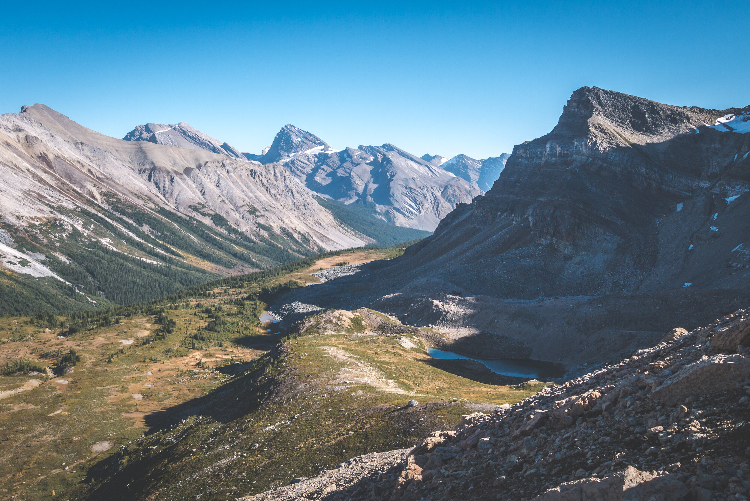
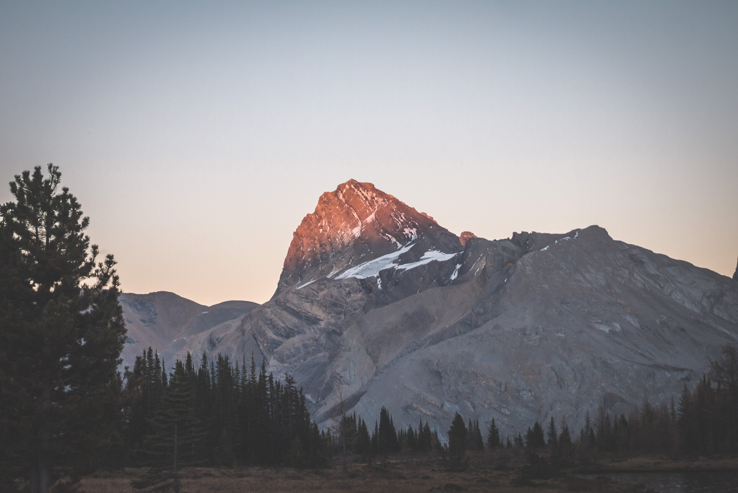
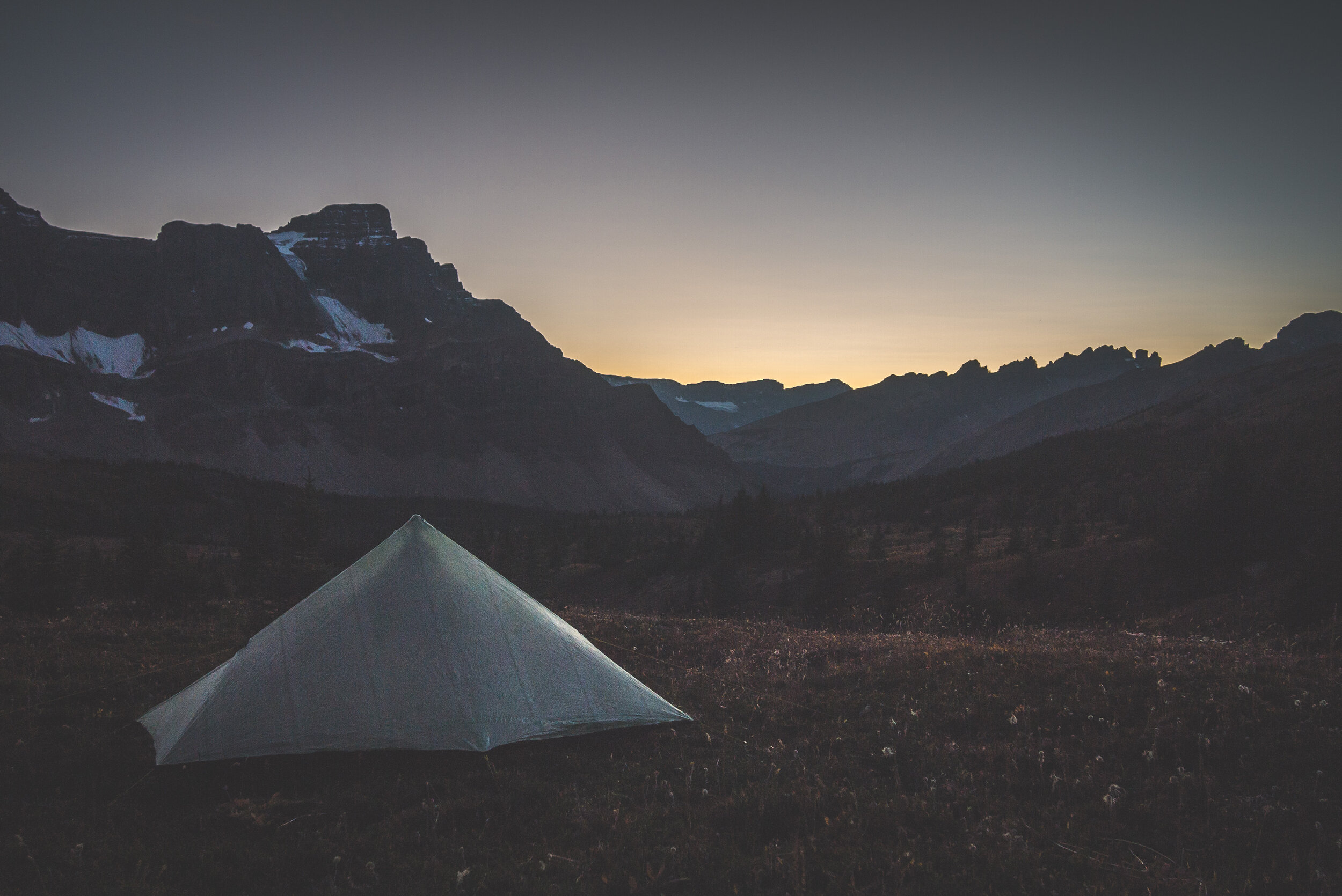
The long and wide slope below Mosquito Lake was where I decided to stay. Having a view on Hector Glacier, Mount Andromache, Noseuum Mountain and the Dolomites in the distance was a real treat.

The angle of the slope made setting up camp a challenge. But I’ll take incredible views before comfort at any time.

On a side note, I have spent every adventure in the wilderness using the Zoleo Satellite Communicator device and I am more than happy with it. It uses the Iridium Satellite Network for very good accuracy and offers location-based weather forecasts that have been surprisingly quite precise. The battery life is phenomenal. Staying in touch with my sweetheart at home while solo hiking makes things easier for both of us. I highly recommend this device.


After refreshing myself in a creek nearby, I walked around camp and soaked in the beauty of this area.

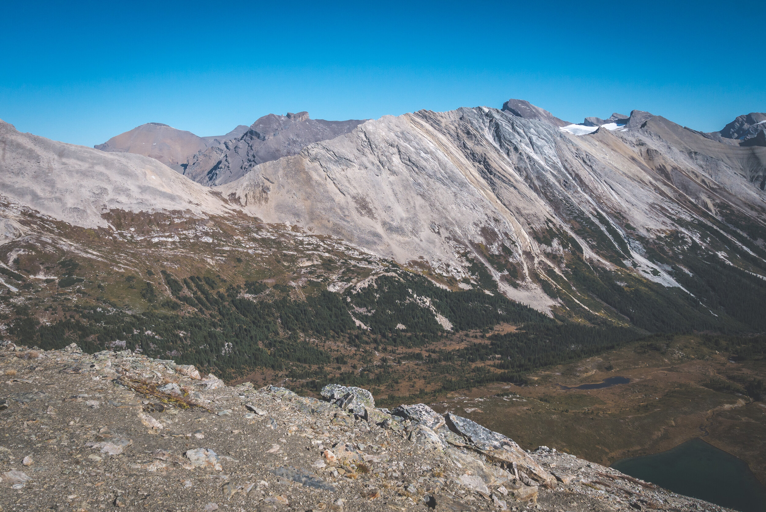
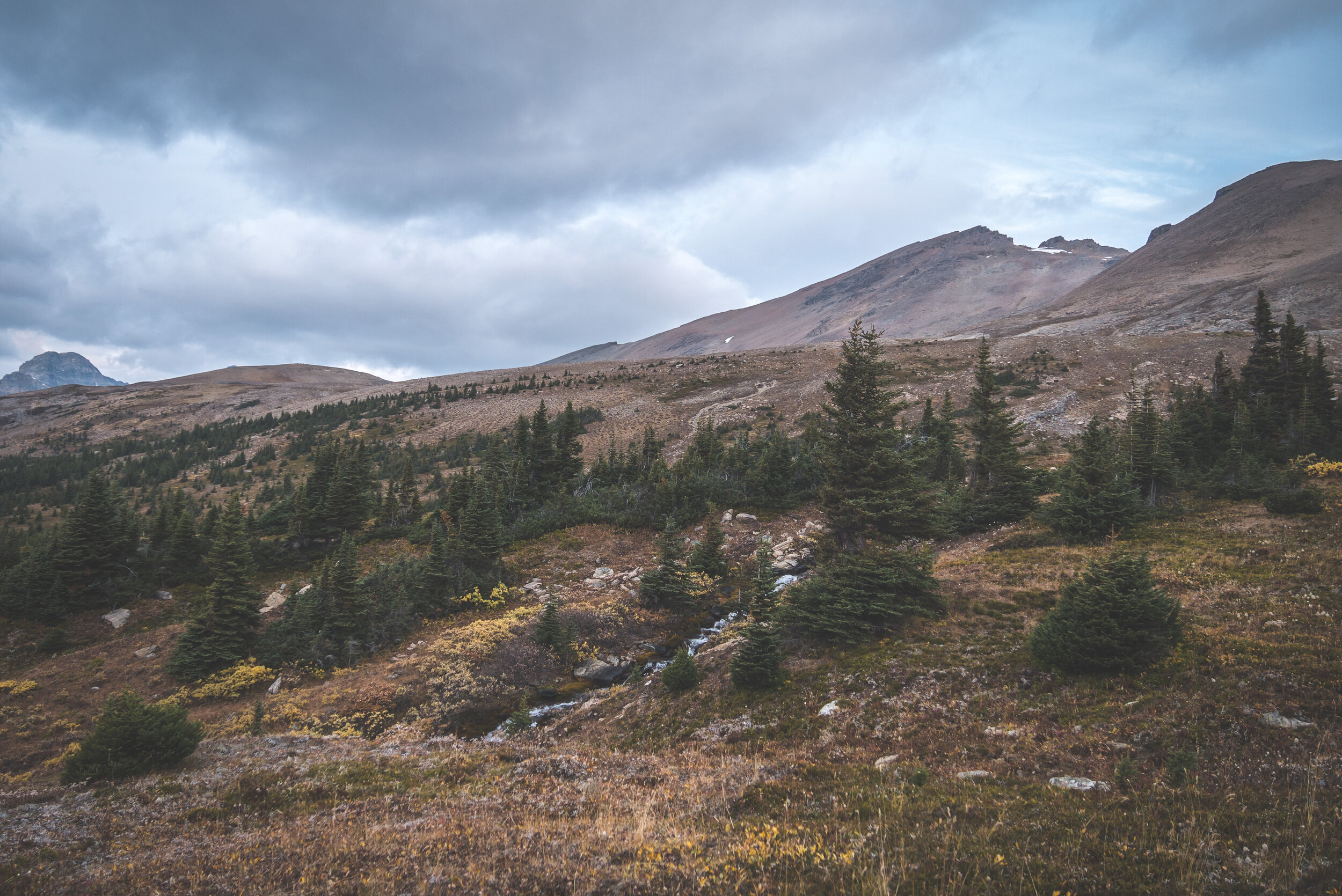
There are so much more exploring, scrambling and summiting opportunities in this area.

Can you spot my tent?


With all my camp chores completed, all that was left to do was contemplating the sun slowly fading away behind the iconic Dolomites ridge lines, letting the stars fill the sky for the night. I have rarely experienced such a beautiful night in the mountains.


Hector Glacier fading away…

The Dolomites.
The creek next to my camp.
True to the forecast, my third day started under an overcast sky. It didn’t prevent me from lingering in camp. I was almost happy to have moody weather as a gray sky puts more contrast in the landscape. I was running low on food but a few granola bars with a tea satisfied my morning hunger.


Cheers to a beautiful adventure!
I reluctantly left camp. As much as I wanted to stay longer, I had a few hours before the rain was supposed to start. Wasting no time, I crossed the meadow, following a creek here and there.


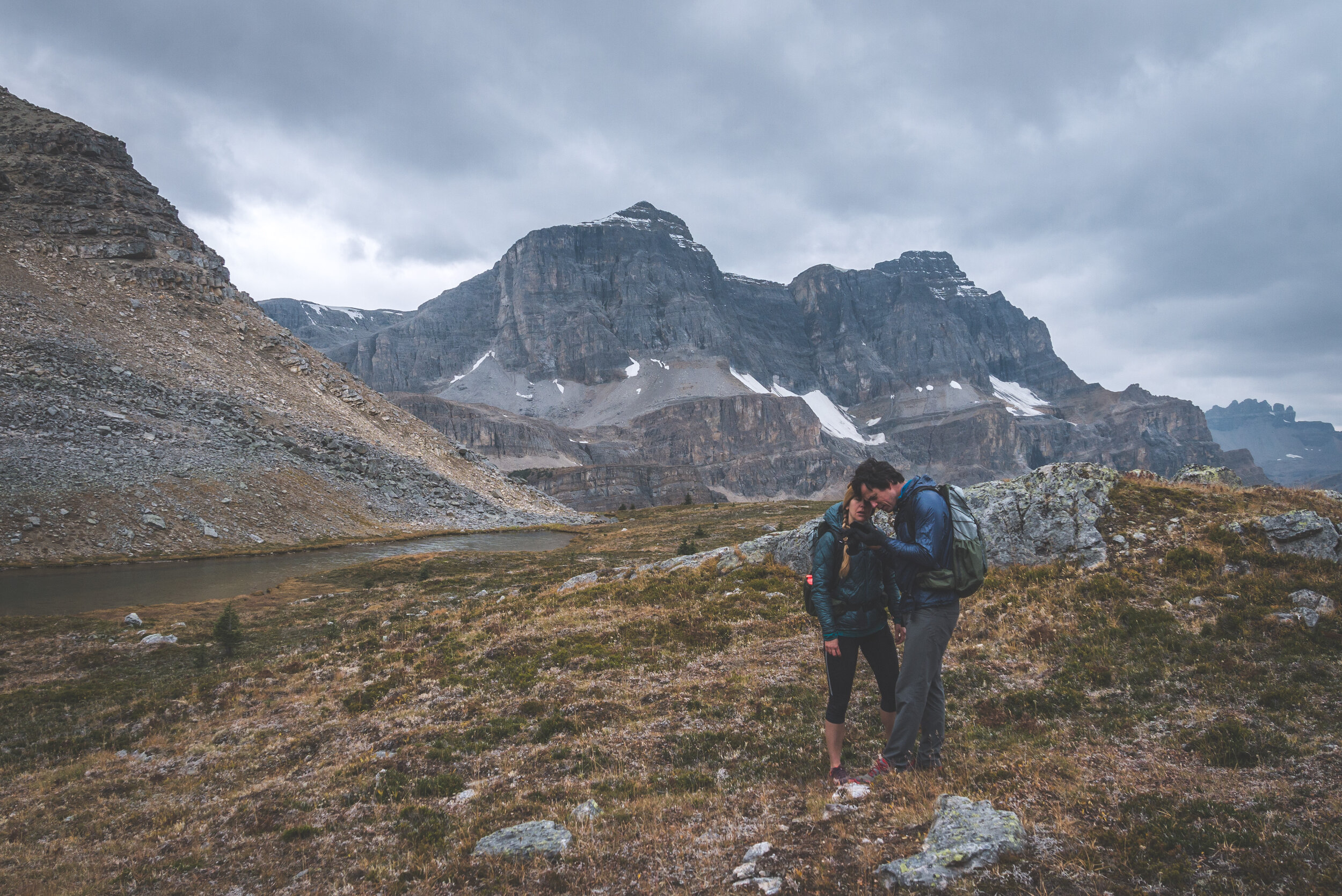
I had made my way back to the trail when I stopped for a few minutes looking at South Molar Pass, pondering if I should hike up the big shoulder in front of me to use the South Molar branch of the trail to get back down to the Mosquito Creek. Yes, no, yes, no… I couldn’t make up my mind because of the low hanging clouds. Not willing to get stuck in inclement weather, I abandoned the idea and got back on trail. But as if I wasn’t completely sure, by some sort of happy coincidence, I came upon my friend Dan and his wife Tara just a few minutes after getting back on trail. We had a good laugh. What were the odds???

Willing to explore the area for the rest of the day, they didn’t have a lot of convincing to do for me to join them to explore the area between the North and South Passes. Dan is as much of a map nerd as I am and he quickly figured out a route that we could take to climb up higher than South Molar Pass and then climb back down using the pass and follow the trail to the trailhead.
Our plan was to use the rocky slope to the left of the grassy cliffs and make our way to the right towards South Molar Pass.
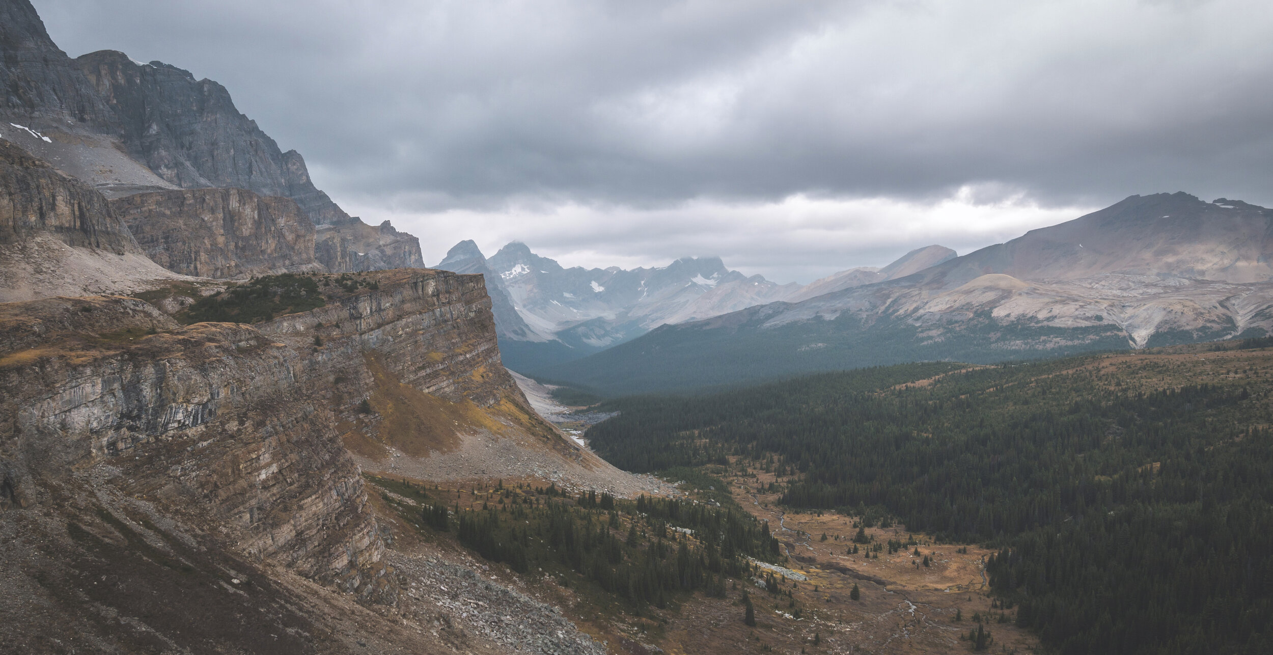
This is such a beautiful and rarely visited area, it’s a shame that the Molar Pass Loop trail doesn’t somehow make its way through this high meadow.


We scrambled on the rocks to the right. The big boulders acted as a giant staircase.
The Durstons!

We were not alone.

Mount Hector and its marvelous glaciers.
It was quite funny to watch this big guy observe us. It kept an eye on us the entire time we were near him. We skirted around very widely to give it its space but in a fraction of a second, it downclimbed the cliff.


We were all fascinated by its ability to run down an almost vertical cliff. It’s so cool to see wildlife!

The rain was coming. We sat at the top of the pass to grab a snack but the weather forced us to get our rain jackets out and make our way down.
The view from South Molar Pass.

Looking back at South Molar Pass and the single track trail coming down from it.
It rained pretty much the entire time we were hiking down. The clouds were very low but luckily, it was just a drizzle. It turned a few sections of the trail into a mud fest but who cares when you’re getting off the trail in a few hours.


The rain stopped as we were almost back at the highway. It was fun to hike with Dan and Tara for the afternoon. I was seeking solitude for this trip but sharing the trail with like-minded friends is quite enjoyable.


I drove back home feeling mentally recharged. I knew that I had just completed my last adventures of the summer as October marks the arrival of the first snowstorms in the Rockies. But it’s ok, summer will be back next year. :-)