Wallowa River Loop Trail (Oregon)
On yet another sunny day, we left La Grande first thing in the morning to get to Wallowa Lake at 9:00AM. The road leading to the Wallowas was beautiful and seeing the mountain range at the very last minute was quite funny. At some point I asked myself if I took the wrong road. Nonetheless, the views were stunning as we got closer and closer. No wonder why these mountains are called “The Swiss Alps of Oregon”. We left the trailhead at 9:30AM for a planned 5-day backpacking trip that would take us over a few passes and into the scenic Lakes Basin. This trip was inspired by Dave from CleverHiker. His pictures are phenomenal and it was all I needed to convince me to drive all the way across Oregon to hike this remote area which is part of the Whitman National Forest.

Our main concern for this trip was the snow. Oregon received a LOT of snow last winter. The first week of July is always a little early for hiking at higher altitude, but with the recent hot weather, we were optimistic. Our plan for the first day was to reach Aneroid Lake. While being only a 9.6KM (6 miles) hike, the elevation gain was 970 meters (3185 feet) over that distance. It was a constant gradual climb up to the lake.

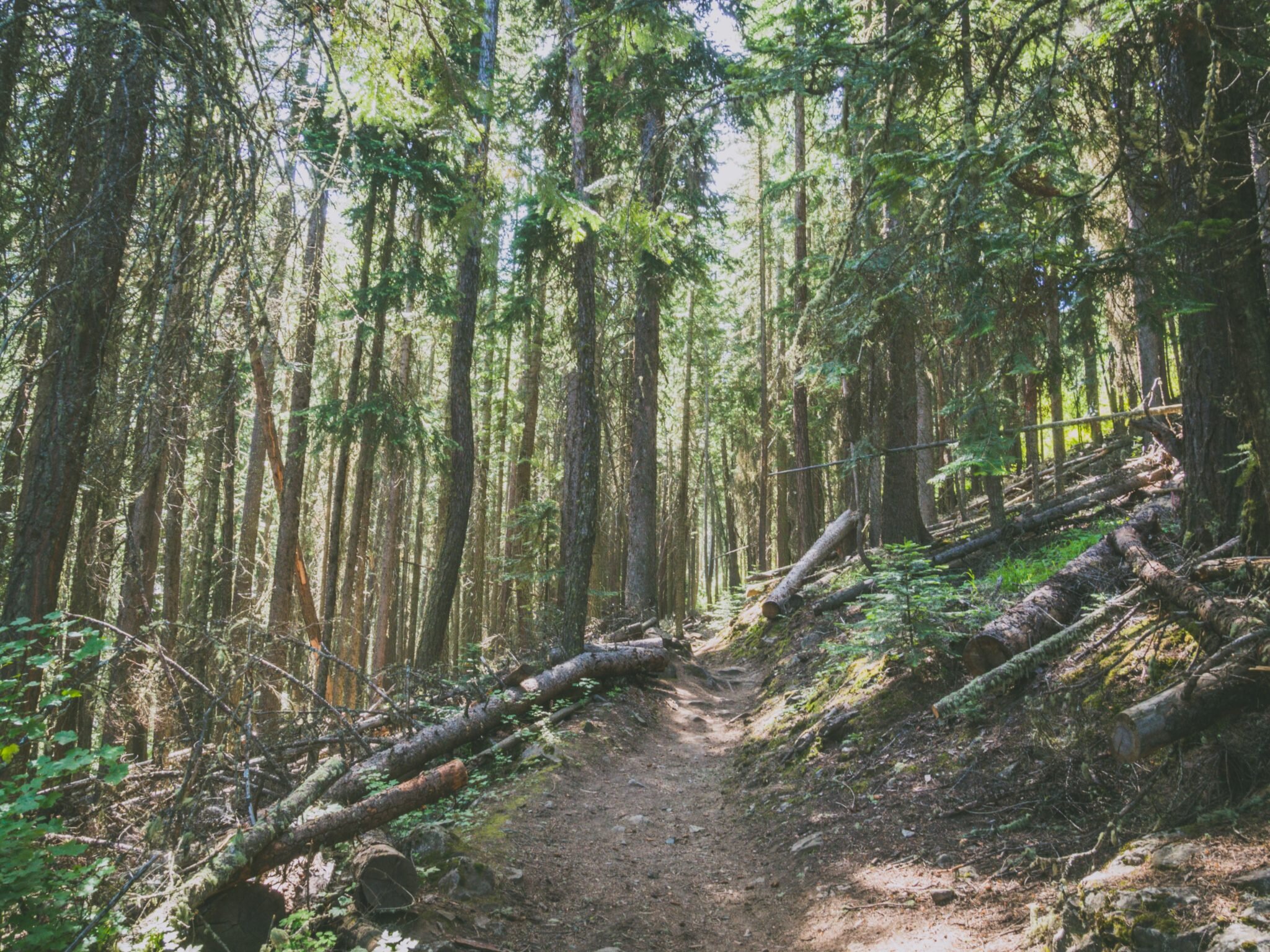

It was hot. My skin was burning even with sunscreen on. Carrying five days of food really added up to the weight on my shoulders. Luckily for us, the water sources were plentiful and most importantly, they were far from being dry! After a long slug into the forest, we were finally able to see the beautiful granite peaks that make up the Wallowa Mountains.


We got to the lake and looked for an exposed site because there was quite a lot of snow around it. The entire area was almost covered but we were able to find a dry and sunny spot. Mosquito head nets were not optional and we quickly lit a fire to get rid of all those annoying bugs. The view from our site couldn’t be more spectacular. The color of the water was inviting for a swim but after dipping my feet in it, I left that idea aside!


The sunset was stunning. Watching the granite peaks turn gold and the sky fading to pink shades was the only thing left to do before going to bed. The temperature dropped considerably in the evening. Nothing dramatic and we were able to remove the tent fly later on to enjoy the sky full of stars from the comfort of our sleeping bags.


We left early the next morning, worried that the highest point of our hike that day, Polaris Pass, would be inaccessible because of the snow. This section is steep and already sketchy in dry conditions. Our worries were founded. The trail was buried in the snow a few meters after the campsite area.


It’s a good thing we had a GPS (Gaia GPS App on my phone) because the trail was nowhere to be found. On our way to Tenderfoot Pass (the last one before Polaris Pass), walking on the snow was the only option. At this point, it was clear we came here too early in the season, and no one else had been walking this trail this year. The snow was not too soft and post-holing was not a problem.


The melting water underneath the snow created slippery conditions, especially on the steep sections.

On the top of Tenderfoot Pass, we could really appreciate the expanse of the Wallowas. We were all smiley for the camera, but when I opened the map and realized that the snowy slopes in front of us had to be crossed in order to reach Polaris Pass, I knew the Lakes Basin would have to wait for another year.


Andrea and I discussed about our options while having lunch. We both agreed to hike towards Polaris Pass, hoping to find a safe path through the snow. Our opinion was that the other side of the pass should be snow-free as all the east exposed slopes were. Soon enough, we gained elevation while crossing extremely steep snowy and icy sections. Kicking our steps in the snow while facing the slope was the only way to keep going. It now really sketchy. As I was kicking my steps, I stopped and looked behind me… What I saw was a wide steep slope going down more than 1500 feet to the bottom of the valley. I took a deep breath, looked at Andrea who was waiting for me on a tiny grass patch a few feet on my right, and told her that we had to turn around. That was it, there was absolutely no way to safely cross this section without crampons or an ice axe. One misstep and I would’ve ended up at the bottom of the valley. I was mad, I was sad and I was tired. Walking on snow all day had been tiring and we were both burnt by the sun’s reflection on the snow. Where would we camp? Aneroid Lake was hours away and it was already late in the afternoon. Our water bottles had been empty for a long time and the constant wind made our mouth so dry that it was painful to swallow. On our way back, the sun had melted a snow bank, leaving a tiny trickle of water flowing. Just enough to fill our bottles.

Filling my water bag in a tiny trickle of melting snow.
We finally made it back to Aneroid Lake but stayed on another section of the lake this time. We got there a few minutes before sunset. We didn’t talk the entire evening. We were both frustrated but for different reasons. I dreamed about the Lakes Basin for a few weeks and I was the one in charge of planning this trip. While I understood Andrea’s frustration, it was a learning experience for both of us. It was our first “failed attempt” in the backcountry. While she learned that it is impossible to control the conditions in advance, I learned to accept the fact that a failure is NOT a failure if it means turning around to stay safe. We went to bed with those thoughts in mind but woke up with a smile on our faces. Another day, another blue sky. We took all our time in the morning, knowing exactly what was in front of us.


We left Wallowa Lake with mixed feelings. We surely discovered a spectacular area but failed to fully enjoyed it. Without a doubt, Polaris Pass and the Wallowa Mountains will haunt us for a long time, at least until we come back to complete this trail!

Wallowa Lake
Having now two extra days on our trip, we started another ambitious long drive. Our next stop was the Olympic National Park in Washington State. A 9-hour drive from where we were. But a road trip wouldn’t be a road trip without… the road! And the ones from Oregon and Washington surely didn’t disappoint so far.


