Belmore Browne
Located in the foothills of the Rocky Mountains, Belmore Browne Peak is part of the Fisher Range in the Kananaskis Country PLUZ (Public Land Use Zone). It has to be one of the closest mountains from Calgary. Although getting there requires a bumpy drive on gravel forest roads. It is a seldom used area as access to this mini range is far less convenient than the more popular peaks to the west via Highway 40. But that was the main reason I was here, to seek solitude in the mountains.
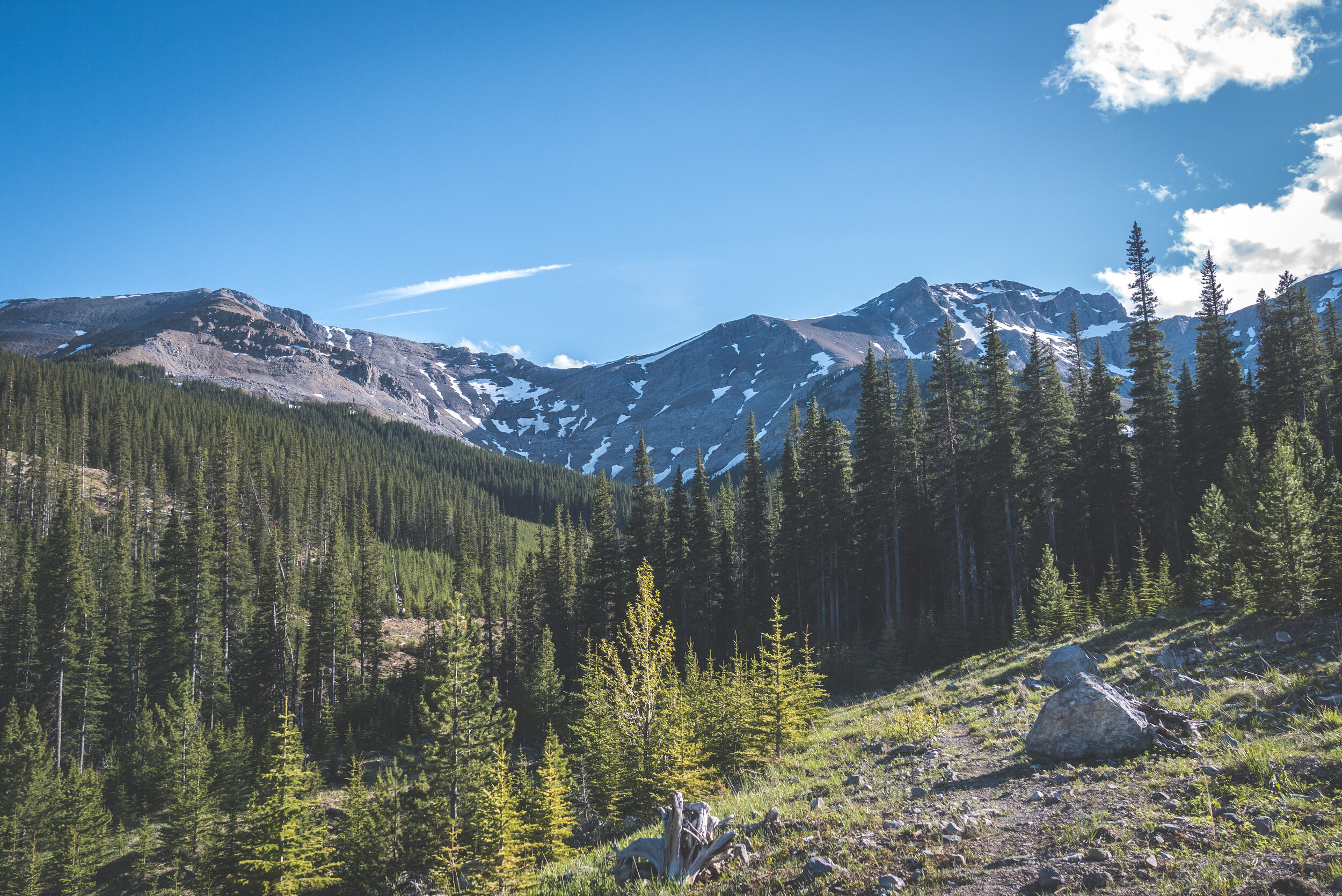
Belmore Browne’s summit is the one in the middle, as seen from the road
I was testing out a new pair of trail running shoes for this hike. My previous trusty Adidas were in terrible shape after two years and having used multiple pairs of the same model for years, I had to find something new as they were now discontinued. After having desperately shopped around (or online… thanks Covid!) for a model with similar specs, I ended getting the Saucony Xodus ISO 3. It was time to put them to the test (and get them dirty!).

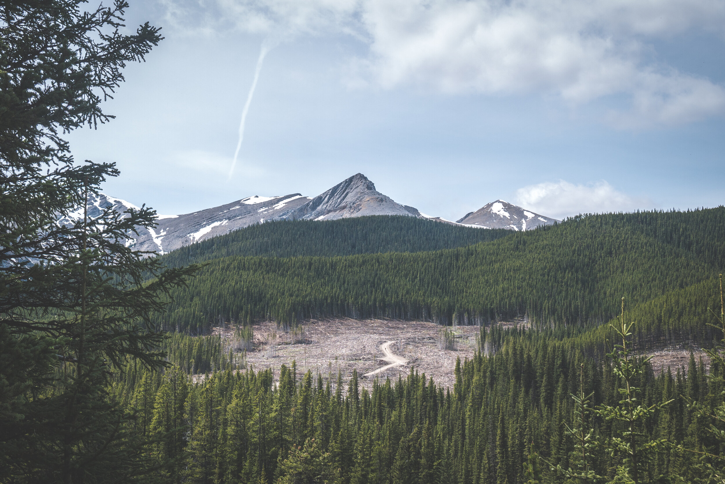
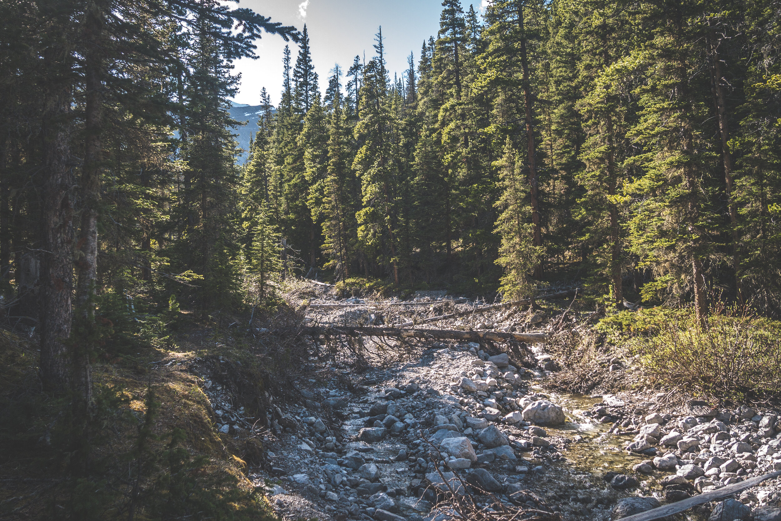
The trails starts by following an old logging road that had been cleared more than 20 years ago. But it only took half an hour before what was left for me to follow was the common drainage of both Belmore Browne Peak and Tiara Peak until they split up at their base.


The creek was flowing quite fast and it got me worried that I might not be able to climb the drainage all the way up. But looking at my map, I realized that the bottom section of it was actually being fed by a third drainage from another mountain.


Soon enough, I was hiking on an almost dry creek bed. While there was a faint trail on both sides of it, it looked to me as if they were game trails and I thought it was way easier to walk on the rocks. It was the perfect terrain to test my new shoes anyway.


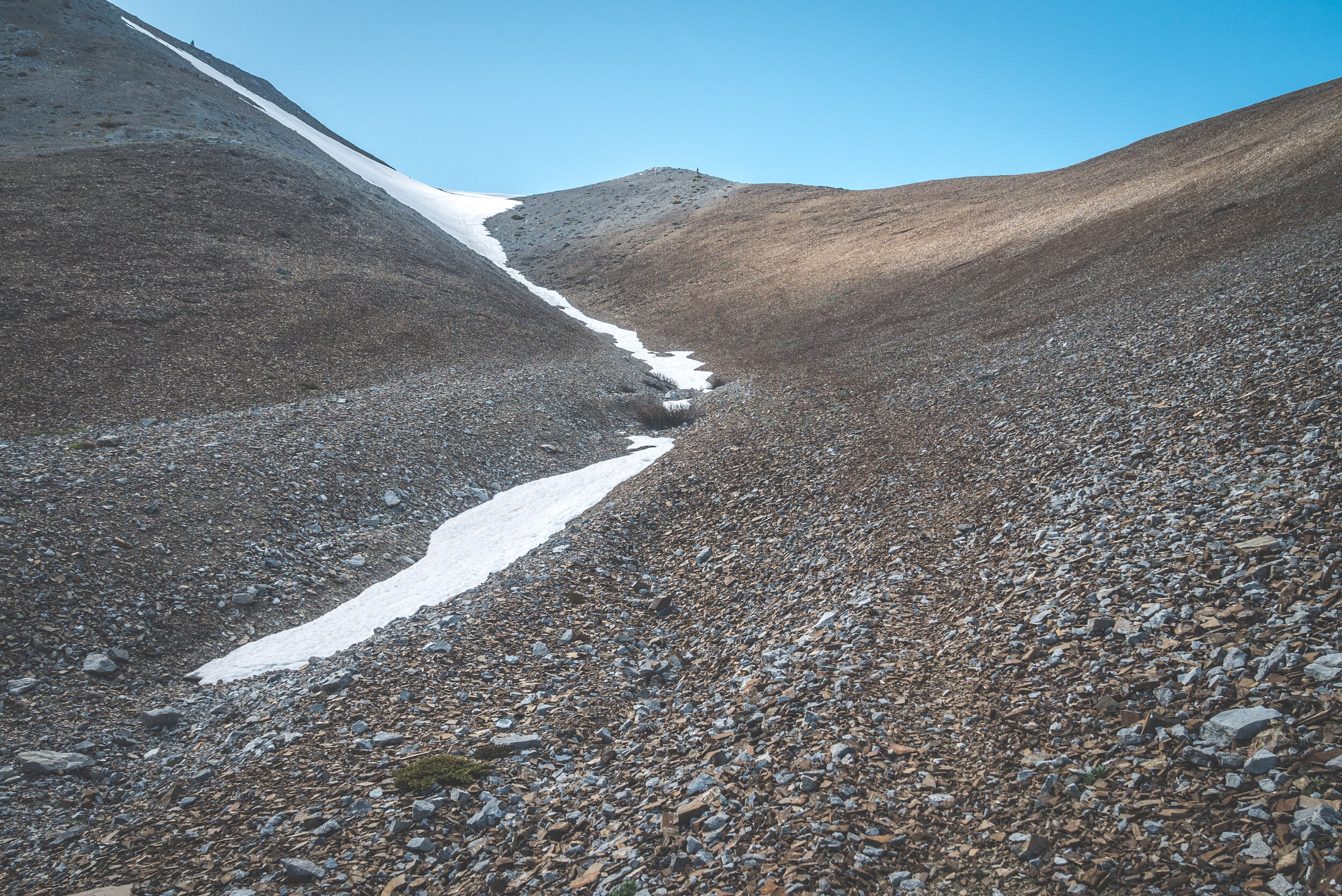
And then, I was at the fork. To the left was a snow drainage from Tiara Peak and to my right, the one from Belmore Browne. I took a right and that's when the serious elevation gain began.


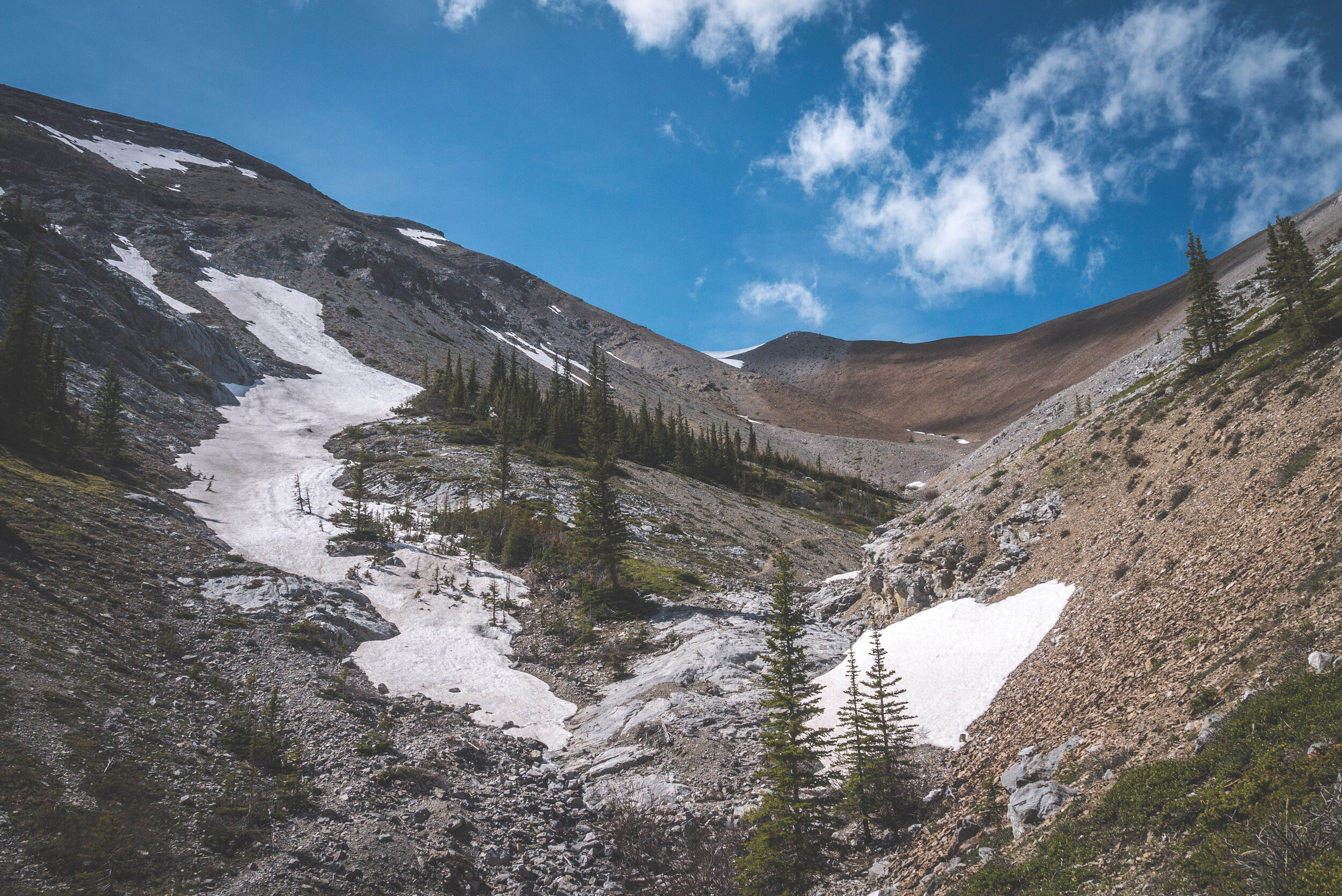
Looking back down the drainage
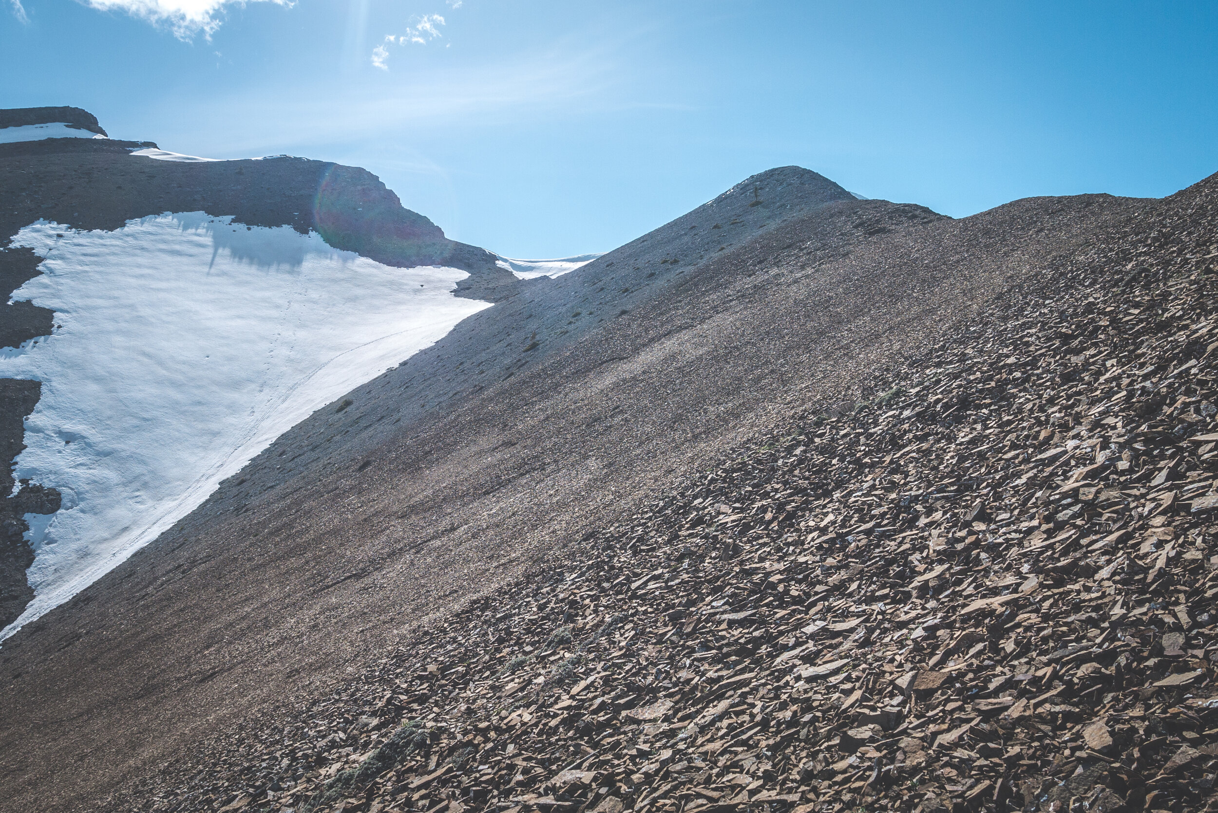
From there, it was steep. I was fully exposed to the sun but one thing the front range will bring you is a lot of wind but it was perfect to keep me cool as I was breaking a sweat while climbing up!

Was that scree slope relentless! The shale (sedimentary rock) was loose and sharp... and it sounded like I was walking on broken porcelain plates. Looking ahead was like as if I had to climb a wall of it.


I had to take way more breaks than I'm used to. The steepness combined with the weird feeling of new shoes made the ascent more difficult for me. It sounds silly but hiking up a mountain with new footwear is like learning how to walk all over again. Since I had the same trail runners for five years, I knew exactly how my feet were to react in any situation in the past. It was now a different story. I had to get used to the new insole, the sock friction, the heel cushion... and all these things made me focus way too much on what was going on inside my Saucony's instead of controlling my breathing and visualizing each step. Anyhow, I made it to the top and as usual, I was quite happy to be by myself and surrounded by pretty peaks.
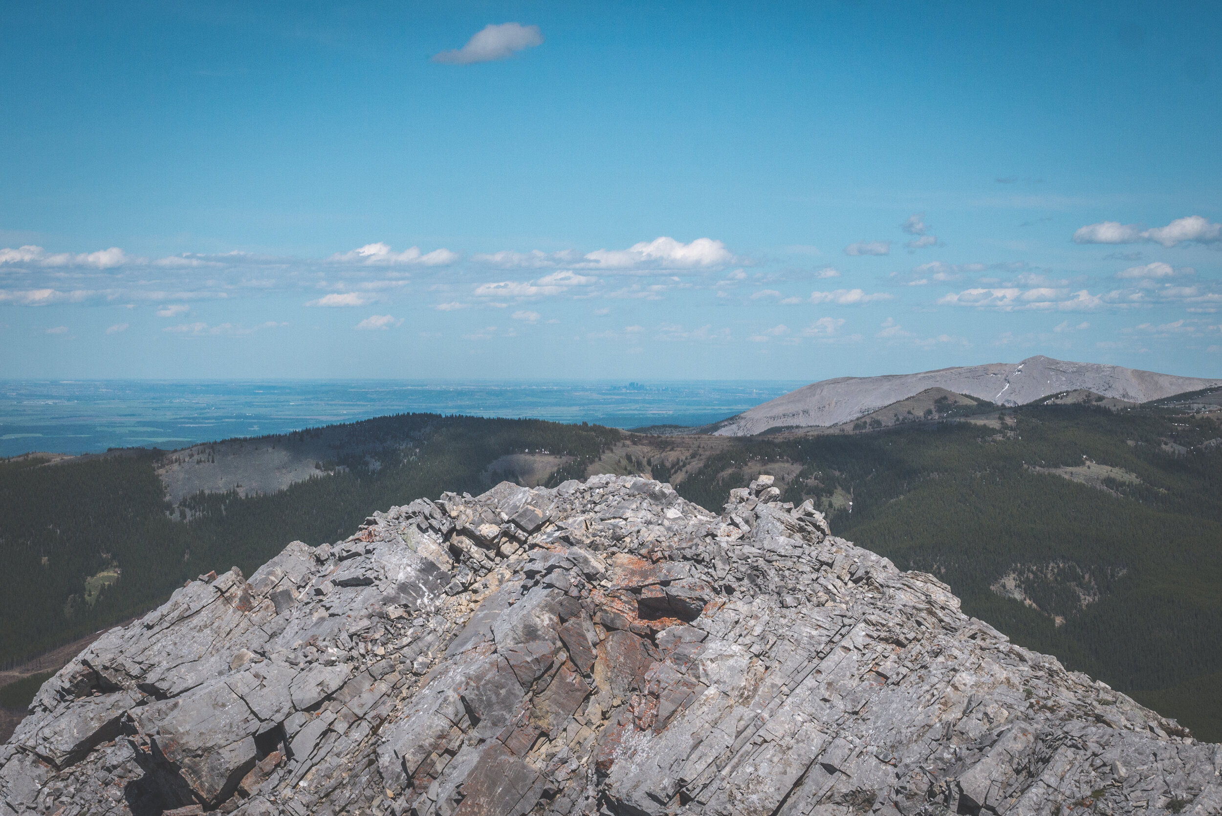
That's how close to Calgary I was. For the first time, I was able to see Calgary's downtown from a summit!
Hiking up Belmore Browne Peak usually means walking the ridge joining it to Tiara Peak. It was something I had in mind but once up there, the snow at the base of the cliff band below Tiara Peak was too important to even try the traverse. And honestly, it was way too late in the evening to attempt it anyway.

South view from the summit

The west ridge looked amazing to traverse and I am eager to give it a try in the future. Just behind it are Porcupine Ridge, Wasootch Ridge and Midnight Peak. It can all be traversed in a very long day along their ridge.
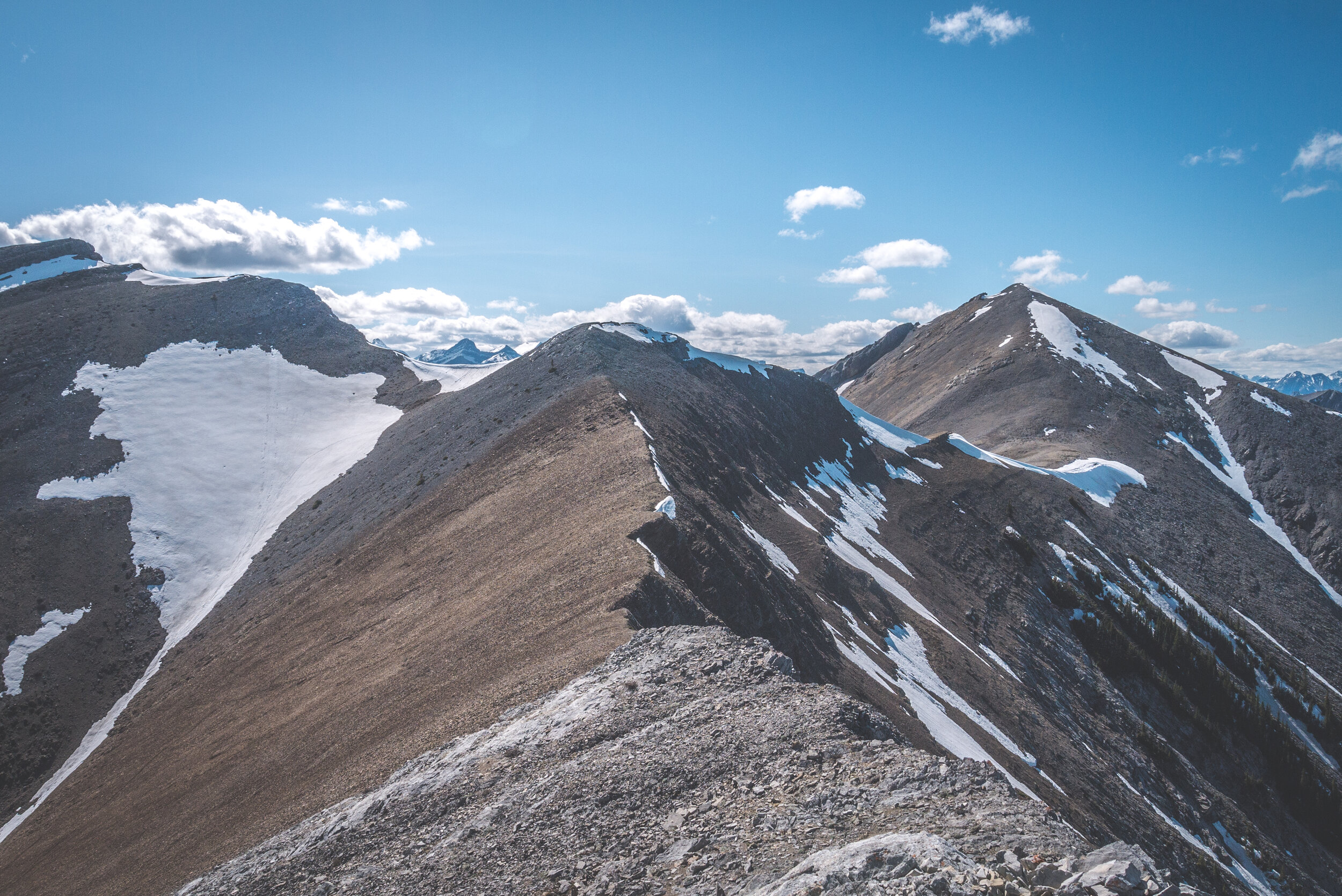

Tiara Peak’s summit is the brown cliff band sticking out of the snow

The treeline is well defined on the north face of Belmore Browne.

And in the background, all the Canmore area peaks. What a nice view!

I was excited to come down via the scree slope. Leaving the summit behind, I aimed for the middle of the ridge where the scree looked a little smaller.


It took me exactly six minutes to come down what had took me almost an hour to climb up. Damn, do I love scree runs!!!

I followed the drainage again, except this time I walked in the water on purpose as much as I could (it was horribly cold!) to wet my shoes and see how fast they would dry.

And then the final section along the old logging road. I was a little sore when I got back to my truck. But I'll have a few days to rest my muscles as the weather calls for a week of stormy weather.