Grizzly Peak (Attempt)
After a very nice hike up Opal Ridge yesterday, I wanted to come back in the area and give Grizzly Peak a try. I knew there was going to be quite a lot of snow near the summit but other than that, I had no information whatsoever on the trail. After parking along the road, I walked pass Grizzly Creek and hiked up the steep first section of the mountain.

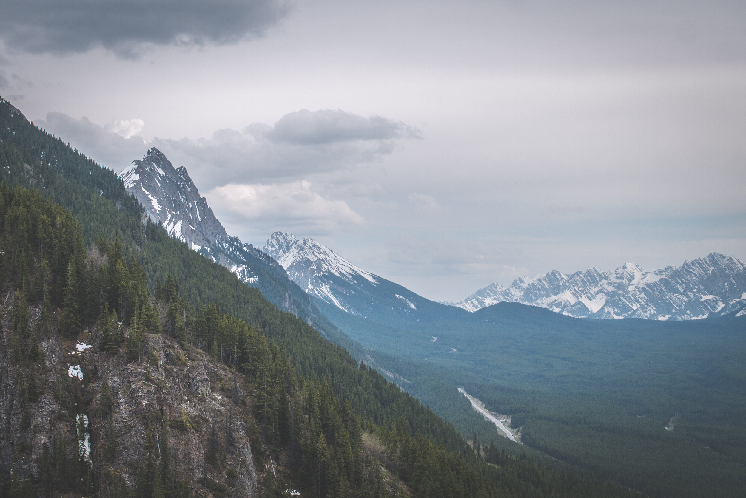
Grizzly Peak is actually the one on the left.

After half an hour on the trail, I had company. Two young mountain sheep and their mom were quite curious and spent a few minutes starring at me. I was at a safe distance to observe them, but the more I climbed up, the more agitated the mom became. It reached a point where she actually started to walk towards me. I hiked faster to make sure I could pass them but to my surprise, after looking behind me, the mom was pursuing me, trying to protect her babies. It became a little tense because the trail was steep and I could barely catch my breath. I would stop for a few seconds but she was not giving up and kept walking behind me at a steady pace. Luckily for me the trail started to switchback and the first big turn brought me further away from the sheep and that’s when she turned around. I was exhausted. It was a very demanding 10 minutes of constant climb at a faster pace than I usually hike. What an exciting start to this hike! This mountain should be called Sheep Peak and not Grizzly Peak.


Momma sheep watching me before going after me!
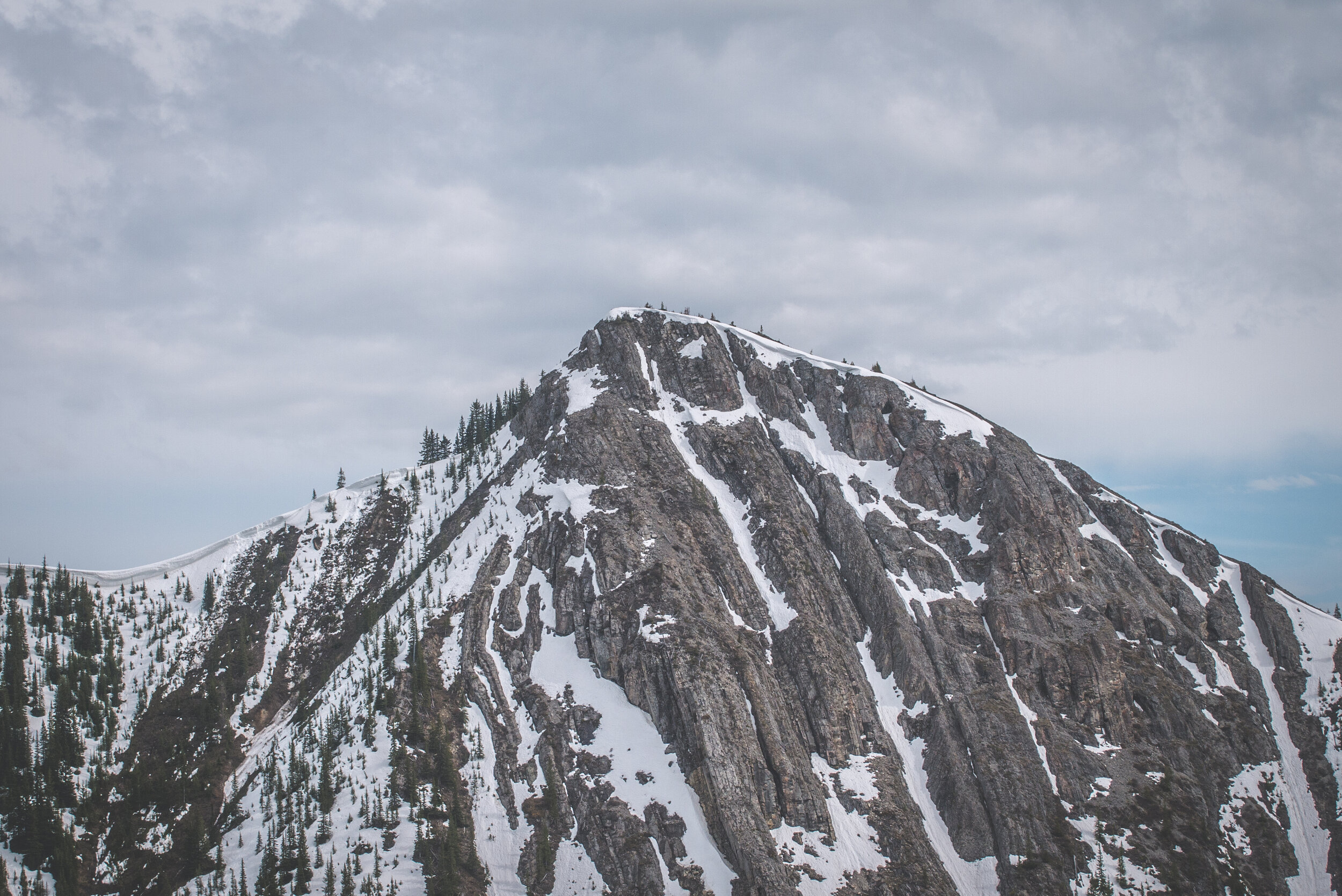
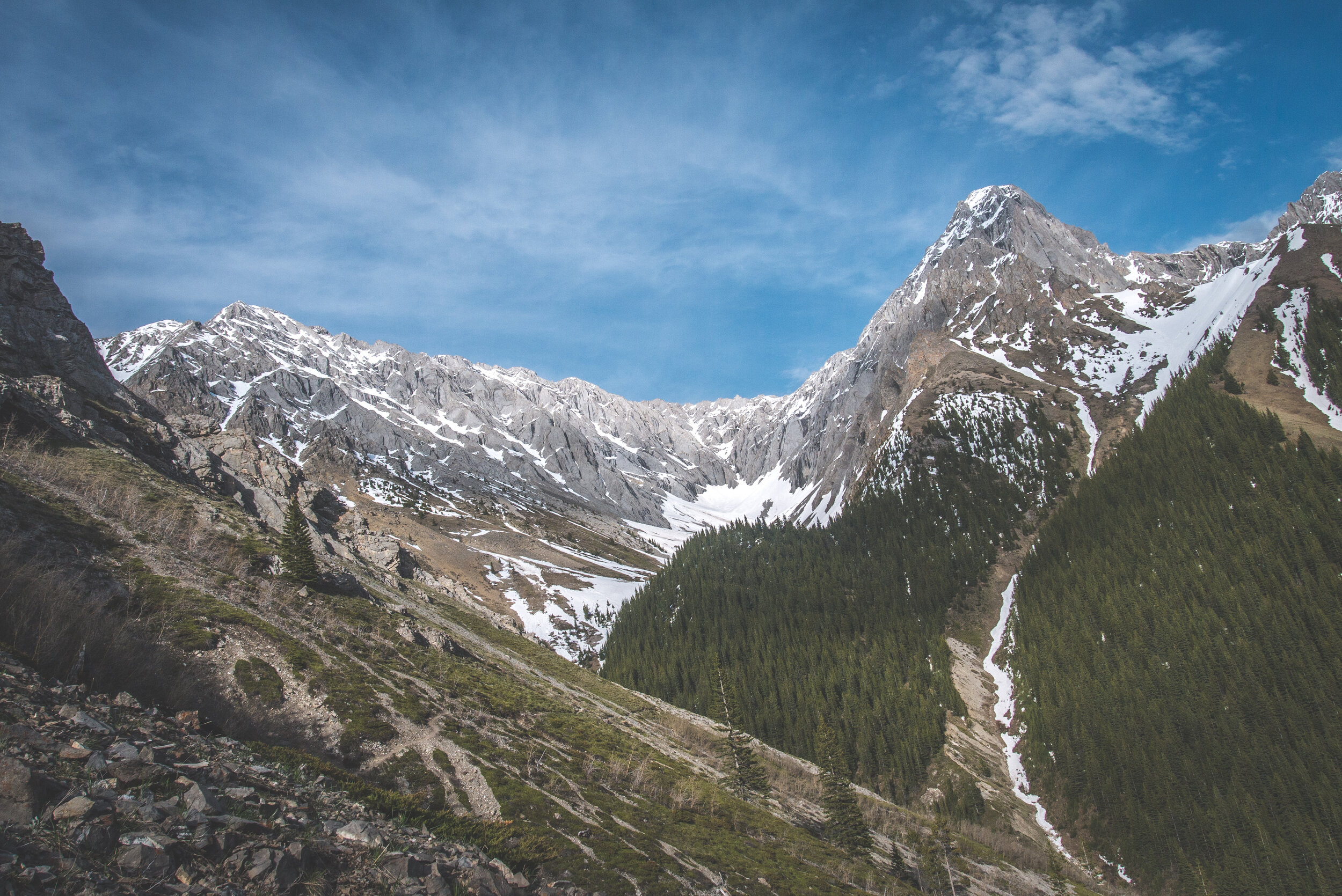
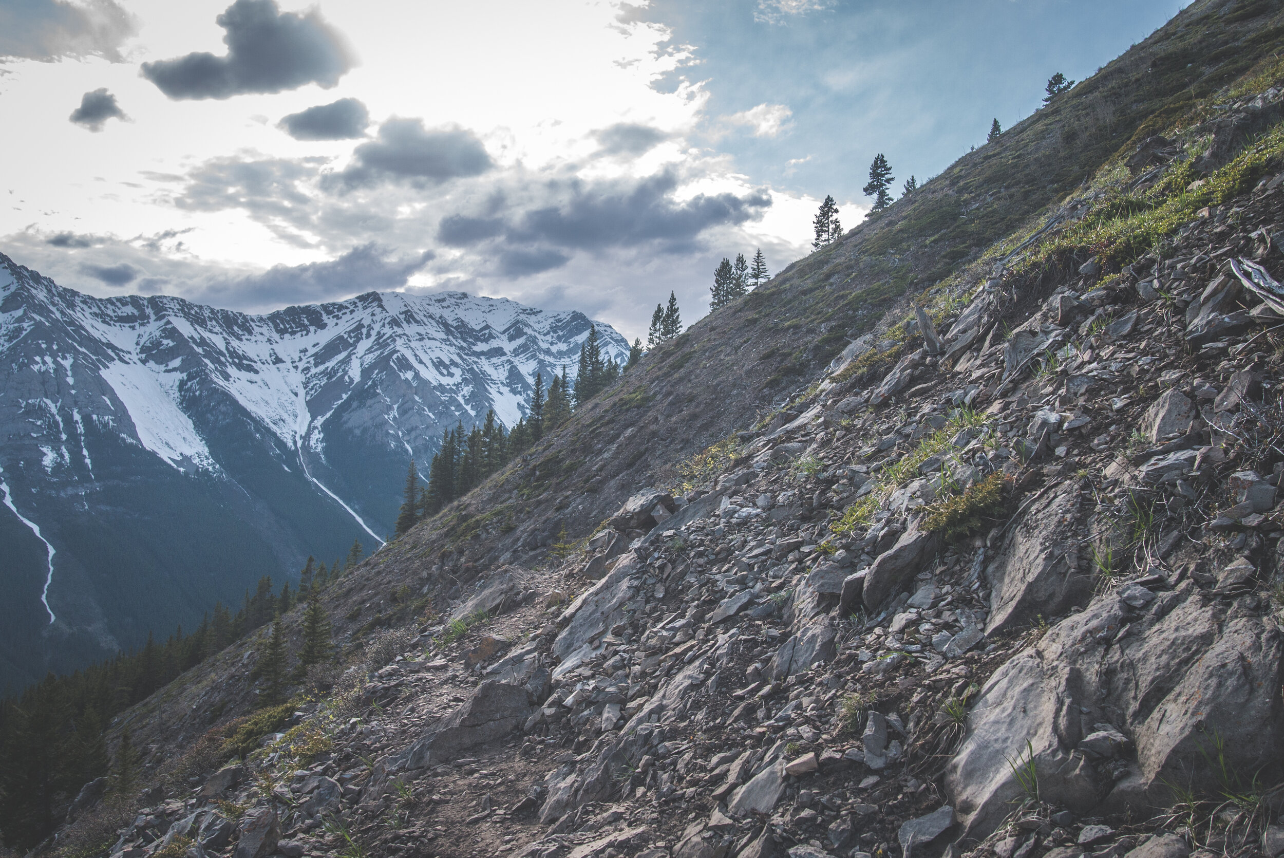
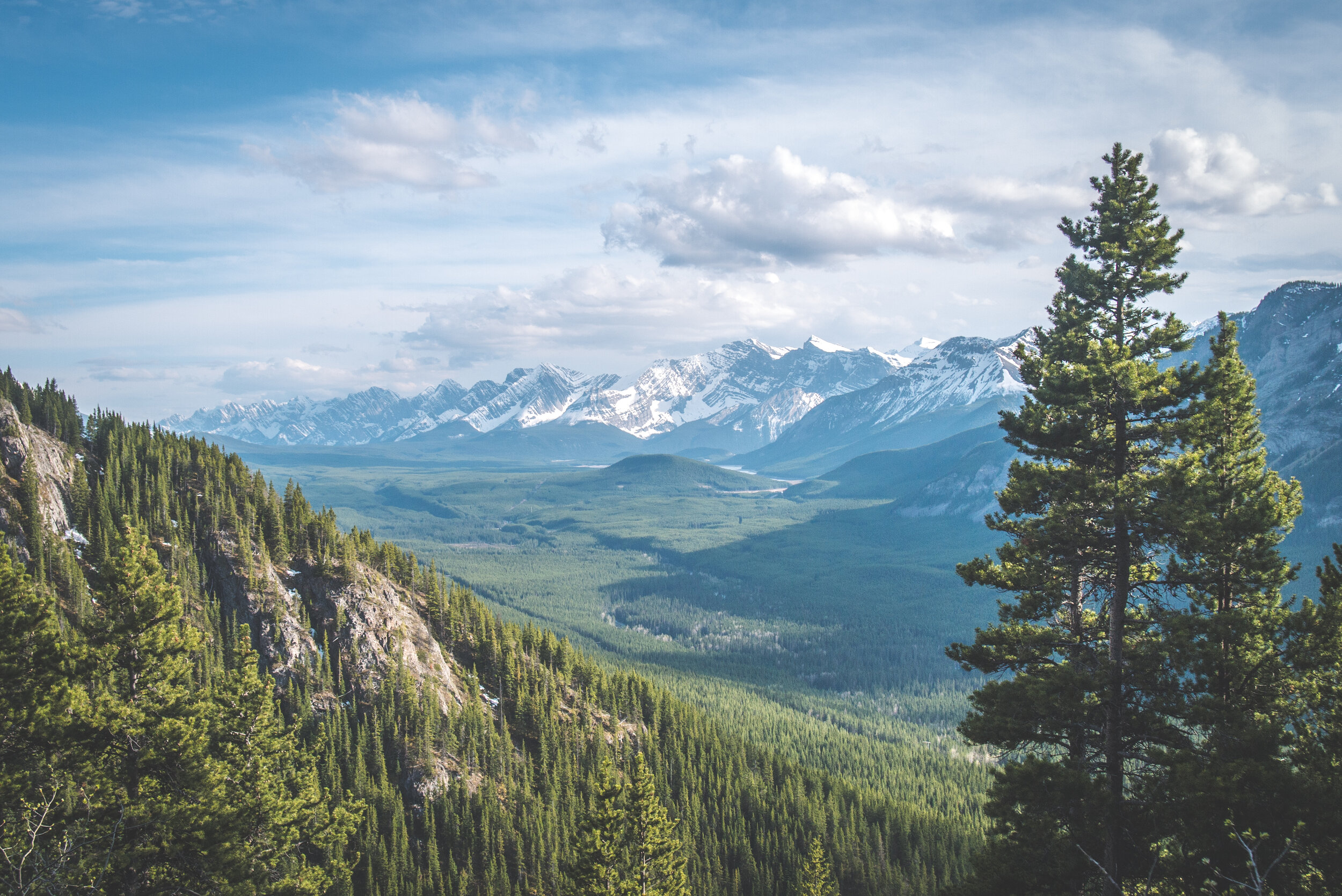
The trail skirts around Grizzly Peak and makes you climb up the southeast face. It is cut in the middle of the mountain and offers great views of the surrounding peaks.

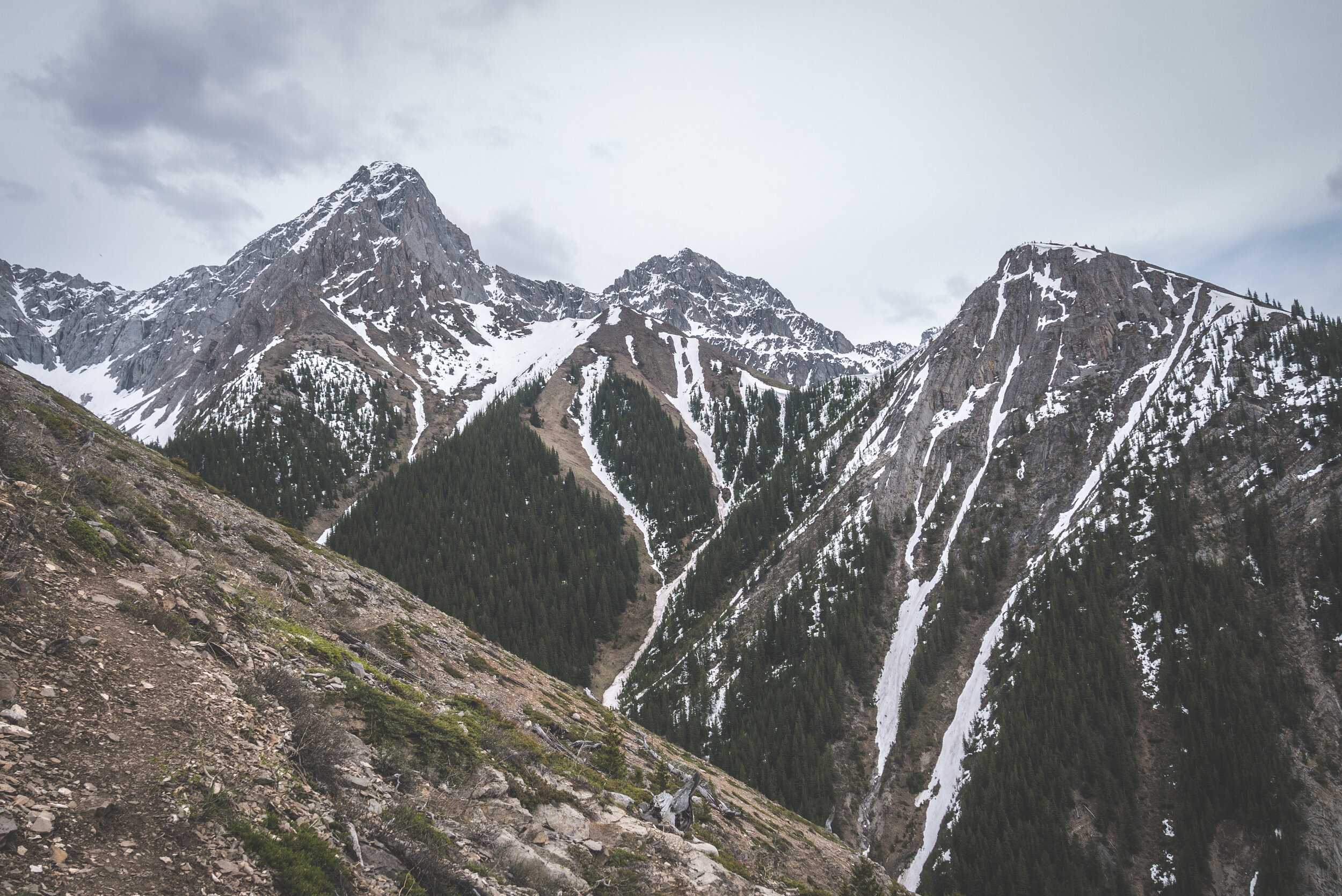
My first view of the rock bands below the summit. Still ways to go from there.

The trail was very narrow on this steep face. It was tricky when I met people coming back. There was not a lot of place to walk aside to give them their space (aka trail social distancing… a 2020 thing).


Snow started to get more abundant on the other side. Crossing some of the snowy gullys proved to be a little sketchy with the typical late afternoon soft and slippery snow that I was now accustomed to.


This gully was the worst. Luckily for me, previous hikers had done the hard work before and all I had to do was to step in their footprint holes in the snow. But hiking back on the loose terrain to the right was hard. The ground was soft, wet and very loose. It was incredibly steep. I couldn’t see any obvious trail to the top ridge.


A bald eagle flying in the wind above me.


The summit wasn’t too far ahead but halfway up the steep slope I stopped and evaluated my options. I could keep going up but I’d have a lot of snow travel and that would slow me down. I realized that the easiest way up would have been via the snow gully, but only in dry conditions (or with crampons, which I didn’t have).


I sat on a tiny rock for a while, snacking and drinking plenty of water. It was the only place I could stop because it was very steep. I decided to head down and try to reach the summit later in the season. I wasn’t feeling it. The wind started to pick up. I witnessed an avalanche on the mountain to my left. And as the wind increased, rocks started to fall down from the Grizzly Peak. Some of them were big and one started to roll and slide very close to me along the snowy gully. It was a sign.


I wasted no time and climbed down as fast as possible to avoid being hit by rock falls. The sky was clear behind me, but it was obvious that a storm was brewing to the west. The wind was howling.


Clouds were moving fast. Looking at the radar on my weather app, I noticed a massive storm moving to the west but it was heading north towards Canmore and it was supposed to skirt around the mountain range that I was in.
The sheep I had seen earlier were hiding in the bushes. Could they feel a storm coming? They never paid attention to me and that was a good thing. I ran a few sections along the descent where the terrain allowed me to. I got back to my truck and the sun was still shinning. I had planned to find a place to camp for the night. But would the storm allow me to?
